Distance to Leafdale, Kentucky
Location Information
-
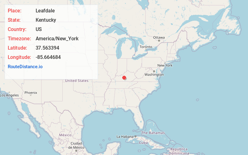
Full AddressLeafdale, KY 42748
-
Coordinates37.5633944, -85.6646841
-
LocationKentucky , US
-
TimezoneAmerica/New_York
-
Current Local Time12:50:30 AM America/New_YorkSaturday, May 17, 2025
-
Page Views0
Nearby Places
Found 10 places within 50 miles

Buffalo
4.0 mi
6.4 km
Buffalo, KY
Get directions
Howardstown
4.0 mi
6.4 km
Howardstown, KY 40051
Get directions

Hodgenville
4.2 mi
6.8 km
Hodgenville, KY 42748
Get directions

Larue County
4.5 mi
7.2 km
Larue County, KY
Get directions
Boundary Oak
4.6 mi
7.4 km
Boundary Oak, KY 42748
Get directions
Stiles
4.9 mi
7.9 km
Stiles, KY 40051
Get directions
Gleanings
7.2 mi
11.6 km
Gleanings, KY 40052
Get directions
Mt Sherman
7.6 mi
12.2 km
Mt Sherman, KY
Get directions

New Haven
7.6 mi
12.2 km
New Haven, KY 40051
Get directions
Roanoke
8.2 mi
13.2 km
Roanoke, KY 40051
Get directions
Location Links
Local Weather
Weather Information
Coming soon!
Location Map
Static map view of Leafdale, Kentucky
Browse Places by Distance
Places within specific distances from Leafdale
Short Distances
Long Distances
Click any distance to see all places within that range from Leafdale. Distances shown in miles (1 mile ≈ 1.61 kilometers).