Distance to Leavitt, California

Calculating Your Route
Just a moment while we process your request...
Location Information
-
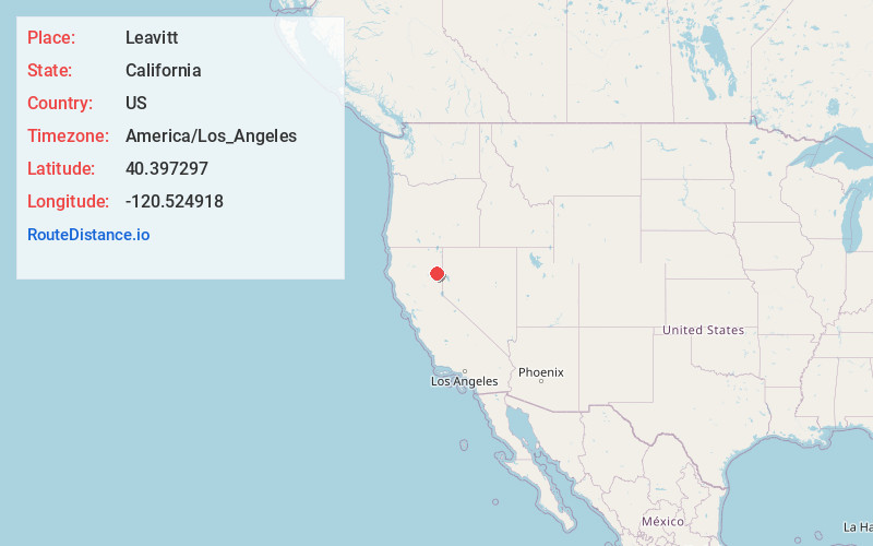
Full AddressLeavitt, CA 96130
-
Coordinates40.397297, -120.524918
-
LocationLeavitt , California , US
-
TimezoneAmerica/Los_Angeles
-
Current Local Time1:44:07 AM America/Los_AngelesThursday, May 29, 2025
-
Page Views0
About Leavitt
Leavitt is an unincorporated community in Lassen County, California, United States, located alongside the Southern Pacific Railroad, Fernley and Lassen Railway branch, 7 miles east of Susanville, and 7 miles west of Litchfield, at an elevation of 4,104 feet. It is the site of the High Desert State Prison.
Nearby Places
Found 10 places within 50 miles

Johnstonville
3.7 mi
6.0 km
Johnstonville, CA 96130
Get directions
Belfast
5.1 mi
8.2 km
Belfast, CA 96117
Get directions

Standish
5.8 mi
9.3 km
Standish, CA 96130
Get directions

Susanville
6.9 mi
11.1 km
Susanville, CA
Get directions

Litchfield
7.3 mi
11.7 km
Litchfield, CA
Get directions

Janesville
7.9 mi
12.7 km
Janesville, CA
Get directions
Viewland
13.1 mi
21.1 km
Viewland, CA
Get directions
Horse Lake Mountain
13.4 mi
21.6 km
Horse Lake Mountain, California 96130
Get directions
Karlo
15.3 mi
24.6 km
Karlo, CA 96117
Get directions

Wendel
15.7 mi
25.3 km
Wendel, CA 96136
Get directions
Location Links
Local Weather
Weather Information
Coming soon!
Location Map
Static map view of Leavitt, California
Browse Places by Distance
Places within specific distances from Leavitt
Short Distances
Long Distances
Click any distance to see all places within that range from Leavitt. Distances shown in miles (1 mile ≈ 1.61 kilometers).