Distance to Leetonia, Ohio

Calculating Your Route
Just a moment while we process your request...
Location Information
-
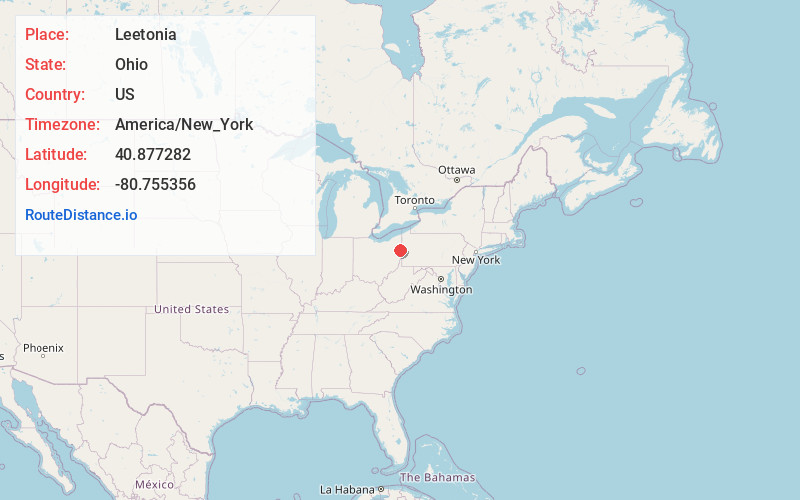
Full AddressLeetonia, OH 44431
-
Coordinates40.8772816, -80.7553556
-
LocationLeetonia , Ohio , US
-
TimezoneAmerica/New_York
-
Current Local Time5:19:11 AM America/New_YorkWednesday, June 18, 2025
-
Website
-
Page Views0
About Leetonia
Leetonia is a village in Columbiana County, Ohio, United States. The population was 1,833 at the 2020 census. It is about 15 miles south of Youngstown.


Nearby Places
Found 10 places within 50 miles

Columbiana
3.3 mi
5.3 km
Columbiana, OH 44408
Get directions

Salem
5.5 mi
8.9 km
Salem, OH 44460
Get directions

Lisbon
7.3 mi
11.7 km
Lisbon, OH 44432
Get directions

Canfield
10.2 mi
16.4 km
Canfield, OH 44406
Get directions

East Palestine
11.6 mi
18.7 km
East Palestine, OH 44413
Get directions

Poland
12.5 mi
20.1 km
Poland, OH 44514
Get directions

Sebring
14.1 mi
22.7 km
Sebring, OH
Get directions

Struthers
14.3 mi
23.0 km
Struthers, OH
Get directions

Austintown
15.5 mi
24.9 km
Austintown, OH
Get directions

Campbell
16.1 mi
25.9 km
Campbell, OH
Get directions
Location Links
Local Weather
Weather Information
Coming soon!
Location Map
Static map view of Leetonia, Ohio
Browse Places by Distance
Places within specific distances from Leetonia
Short Distances
Long Distances
Click any distance to see all places within that range from Leetonia. Distances shown in miles (1 mile ≈ 1.61 kilometers).