Distance to Lehigh, Georgia

Calculating Your Route
Just a moment while we process your request...
Location Information
-
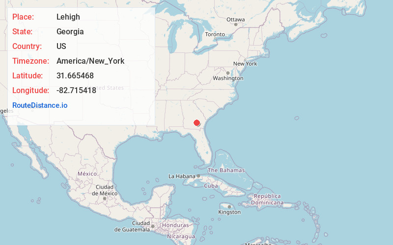
Full AddressLehigh, GA 31532
-
Coordinates31.6654681, -82.7154183
-
LocationGeorgia , US
-
TimezoneAmerica/New_York
-
Current Local Time7:07:13 PM America/New_YorkTuesday, June 3, 2025
-
Page Views0
Nearby Places
Found 10 places within 50 miles

Denton
4.2 mi
6.8 km
Denton, GA
Get directions
Lotts
10.0 mi
16.1 km
Lotts, GA 31519
Get directions

Broxton
10.5 mi
16.9 km
Broxton, GA 31519
Get directions
Saginaw
10.7 mi
17.2 km
Saginaw, GA 31554
Get directions
Nicholls
11.3 mi
18.2 km
Nicholls, GA 31554
Get directions
Satilla
12.1 mi
19.5 km
Satilla, GA 31539
Get directions

Douglas
13.4 mi
21.6 km
Douglas, GA
Get directions

Hazlehurst
15.8 mi
25.4 km
Hazlehurst, GA 31539
Get directions
Graham
17.0 mi
27.4 km
Graham, GA
Get directions

Alma
17.3 mi
27.8 km
Alma, GA 31510
Get directions
Location Links
Local Weather
Weather Information
Coming soon!
Location Map
Static map view of Lehigh, Georgia
Browse Places by Distance
Places within specific distances from Lehigh
Short Distances
Long Distances
Click any distance to see all places within that range from Lehigh. Distances shown in miles (1 mile ≈ 1.61 kilometers).