Distance to Lequire, Oklahoma

Calculating Your Route
Just a moment while we process your request...
Location Information
-
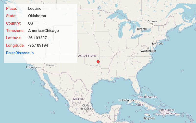
Full AddressLequire, OK
-
Coordinates35.1033368, -95.1091937
-
LocationLequire , Oklahoma , US
-
TimezoneAmerica/Chicago
-
Current Local Time2:30:20 AM America/ChicagoTuesday, June 10, 2025
-
Page Views0
About Lequire
Lequire is an unincorporated community and census-designated place in Haskell County, Oklahoma, United States. Lequire is located at the junction of state highways 31 and 82, 10.5 miles south of Stigler.
A post office was established at Lequire, Indian Territory on December 12, 1906. It was named for P.H.
Nearby Places
Found 10 places within 50 miles

Kinta
7.3 mi
11.7 km
Kinta, OK 74552
Get directions

McCurtain
8.5 mi
13.7 km
McCurtain, OK
Get directions

Stigler
10.4 mi
16.7 km
Stigler, OK 74462
Get directions

Red Oak
10.7 mi
17.2 km
Red Oak, OK 74563
Get directions
Whitefield
12.6 mi
20.3 km
Whitefield, OK 74472
Get directions
Quinton
14.9 mi
24.0 km
Quinton, OK 74561
Get directions

Keota
14.9 mi
24.0 km
Keota, OK 74941
Get directions

Fanshawe
15.5 mi
24.9 km
Fanshawe, OK 74966
Get directions
Le Flore
15.9 mi
25.6 km
Le Flore, OK
Get directions

Wilburton
17.1 mi
27.5 km
Wilburton, OK 74578
Get directions
Location Links
Local Weather
Weather Information
Coming soon!
Location Map
Static map view of Lequire, Oklahoma
Browse Places by Distance
Places within specific distances from Lequire
Short Distances
Long Distances
Click any distance to see all places within that range from Lequire. Distances shown in miles (1 mile ≈ 1.61 kilometers).