Distance to Lewis Center, Ohio

Calculating Your Route
Just a moment while we process your request...
Location Information
-
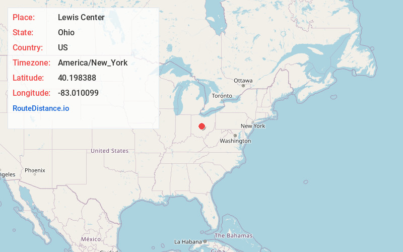
Full AddressLewis Center, OH
-
Coordinates40.1983884, -83.0100987
-
LocationLewis Center , Ohio , US
-
TimezoneAmerica/New_York
-
Current Local Time3:10:41 AM America/New_YorkThursday, June 26, 2025
-
Page Views0
About Lewis Center
Lewis Center is an unincorporated community in northwestern Orange Township, Delaware County, Ohio, United States, in the Columbus, OH Metropolitan Statistical Area.
Its ZIP code is 43035.


Nearby Places
Found 10 places within 50 miles

Gregory
2.9 mi
4.7 km
Gregory, OH 43015
Get directions

Africa
3.0 mi
4.8 km
Africa, OH 43021
Get directions
West Berlin
4.0 mi
6.4 km
West Berlin, OH 43015
Get directions
Hyatts
4.1 mi
6.6 km
Hyatts, OH 43015
Get directions
Victory Camp
4.3 mi
6.9 km
Victory Camp, Genoa Township, OH 43082
Get directions

Powell
4.4 mi
7.1 km
Powell, OH 43065
Get directions
Jones
5.3 mi
8.5 km
Jones, Berlin Township, OH 43015
Get directions

Berkshire Township
5.8 mi
9.3 km
Berkshire Township, OH
Get directions

Westerville
6.5 mi
10.5 km
Westerville, OH
Get directions

Galena
7.0 mi
11.3 km
Galena, OH 43021
Get directions
Location Links
Local Weather
Weather Information
Coming soon!
Location Map
Static map view of Lewis Center, Ohio
Browse Places by Distance
Places within specific distances from Lewis Center
Short Distances
Long Distances
Click any distance to see all places within that range from Lewis Center. Distances shown in miles (1 mile ≈ 1.61 kilometers).