Distance to Lexa, Arkansas

Calculating Your Route
Just a moment while we process your request...
Location Information
-
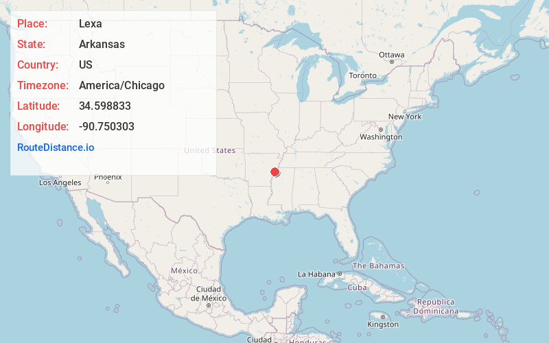
Full AddressLexa, AR 72355
-
Coordinates34.5988328, -90.7503028
-
LocationLexa , Arkansas , US
-
TimezoneAmerica/Chicago
-
Current Local Time1:38:47 PM America/ChicagoFriday, May 30, 2025
-
Page Views0
About Lexa
Lexa is a town in northern Phillips County, Arkansas, United States. The population was 286 at the 2010 census.
Nearby Places
Found 10 places within 50 miles

Rondo
5.7 mi
9.2 km
Rondo, AR 72355
Get directions
Marvell
9.7 mi
15.6 km
Marvell, AR 72366
Get directions

Helena-West Helena
10.3 mi
16.6 km
Helena-West Helena, AR
Get directions
Aubrey
11.8 mi
19.0 km
Aubrey, AR 72360
Get directions

Marianna
12.2 mi
19.6 km
Marianna, AR 72360
Get directions
Friars Point
17.3 mi
27.8 km
Friars Point, MS 38631
Get directions

Lula
18.4 mi
29.6 km
Lula, MS 38644
Get directions
Moro
19.3 mi
31.1 km
Moro, AR
Get directions
Haynes
20.3 mi
32.7 km
Haynes, AR 72360
Get directions

Coahoma
20.6 mi
33.2 km
Coahoma, MS 38617
Get directions
Location Links
Local Weather
Weather Information
Coming soon!
Location Map
Static map view of Lexa, Arkansas
Browse Places by Distance
Places within specific distances from Lexa
Short Distances
Long Distances
Click any distance to see all places within that range from Lexa. Distances shown in miles (1 mile ≈ 1.61 kilometers).