Distance to Leydens Mill, Alabama

Calculating Your Route
Just a moment while we process your request...
Location Information
-
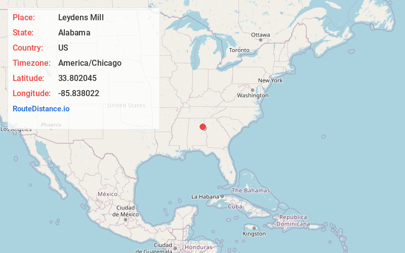
Full AddressLeydens Mill, AL 36265
-
Coordinates33.802045, -85.838022
-
LocationAlabama , US
-
TimezoneAmerica/Chicago
-
Current Local Time9:14:14 PM America/ChicagoFriday, June 20, 2025
-
Page Views0
Nearby Places
Found 10 places within 50 miles

Cedar Springs
1.3 mi
2.1 km
Cedar Springs, AL 36265
Get directions

Angel
2.3 mi
3.7 km
Angel, AL 36265
Get directions

Calhoun County
2.8 mi
4.5 km
Calhoun County, AL
Get directions
Alexandria
3.3 mi
5.3 km
Alexandria, AL
Get directions

Wellington
3.4 mi
5.5 km
Wellington, AL 36279
Get directions

Weaver
3.8 mi
6.1 km
Weaver, AL
Get directions

Jacksonville
4.5 mi
7.2 km
Jacksonville, AL 36265
Get directions
Bonny Brook
4.6 mi
7.4 km
Bonny Brook, Jacksonville, AL 36265
Get directions
Duke
5.0 mi
8.0 km
Duke, AL 36279
Get directions
Tredegar
5.1 mi
8.2 km
Tredegar, AL 36265
Get directions
Location Links
Local Weather
Weather Information
Coming soon!
Location Map
Static map view of Leydens Mill, Alabama
Browse Places by Distance
Places within specific distances from Leydens Mill
Short Distances
Long Distances
Click any distance to see all places within that range from Leydens Mill. Distances shown in miles (1 mile ≈ 1.61 kilometers).