Distance to Liberty, Arizona

Calculating Your Route
Just a moment while we process your request...
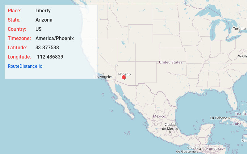
Location Information
-
Full AddressLiberty, AZ 85326
-
Coordinates33.3775382, -112.486839
-
LocationLiberty , Arizona , US
-
TimezoneAmerica/Phoenix
-
Current Local Time9:21:30 AM America/PhoenixThursday, June 19, 2025
-
Page Views0
About Liberty
Liberty is a small populated place in Maricopa County, Arizona, United States. It is located about 30 miles west of Phoenix and about 6 miles southeast of Buckeye. Liberty is located at the intersection of South Jackrabbit Trail and West Baseline Road.
Nearby Places
Found 10 places within 50 miles

Perryville
4.3 mi
6.9 km
Perryville, Goodyear, AZ 85338
Get directions

Buckeye
5.6 mi
9.0 km
Buckeye, AZ
Get directions
Rainbow Valley
7.3 mi
11.7 km
Rainbow Valley, Buckeye, AZ 85326
Get directions
Estrella Camp
8.1 mi
13.0 km
Estrella Camp, Goodyear, AZ 85338
Get directions

Goodyear
8.5 mi
13.7 km
Goodyear, AZ
Get directions
Byrds Mobile Park
8.5 mi
13.7 km
Byrds Mobile Park, Avondale, AZ 85323
Get directions

Avondale
8.9 mi
14.3 km
Avondale, AZ
Get directions
McMicken
9.0 mi
14.5 km
McMicken, Goodyear, AZ 85338
Get directions
Country Villa
9.6 mi
15.4 km
Country Villa, Avondale, AZ 85323
Get directions

Litchfield Park
10.9 mi
17.5 km
Litchfield Park, AZ
Get directions
Location Links
Local Weather
Weather Information
Coming soon!
Location Map
Static map view of Liberty, Arizona
Browse Places by Distance
Places within specific distances from Liberty
Short Distances
Long Distances
Click any distance to see all places within that range from Liberty. Distances shown in miles (1 mile ≈ 1.61 kilometers).