Distance to Lilburn, Georgia

Calculating Your Route
Just a moment while we process your request...
Location Information
-
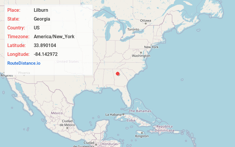
Full AddressLilburn, GA
-
Coordinates33.8901036, -84.1429719
-
LocationLilburn , Georgia , US
-
TimezoneAmerica/New_York
-
Current Local Time7:47:34 AM America/New_YorkSunday, June 22, 2025
-
Page Views0
About Lilburn
Lilburn is a city in Gwinnett County, Georgia, United States. The population was 14,502 at the 2020 census. The estimated population was 12,810 in 2019. It is a part of the Atlanta metropolitan area.


Nearby Places
Found 10 places within 50 miles

Tucker
4.9 mi
7.9 km
Tucker, GA
Get directions

Norcross
5.4 mi
8.7 km
Norcross, GA
Get directions

Peachtree Corners
6.9 mi
11.1 km
Peachtree Corners, GA
Get directions

Snellville
7.4 mi
11.9 km
Snellville, GA
Get directions

Duluth
7.8 mi
12.6 km
Duluth, GA
Get directions

Chamblee
8.9 mi
14.3 km
Chamblee, GA
Get directions

Lawrenceville
9.8 mi
15.8 km
Lawrenceville, GA
Get directions

Johns Creek
10.1 mi
16.3 km
Johns Creek, GA
Get directions

Redan
10.3 mi
16.6 km
Redan, GA
Get directions

Brookhaven
11.3 mi
18.2 km
Brookhaven, GA
Get directions
Location Links
Local Weather
Weather Information
Coming soon!
Location Map
Static map view of Lilburn, Georgia
Browse Places by Distance
Places within specific distances from Lilburn
Short Distances
Long Distances
Click any distance to see all places within that range from Lilburn. Distances shown in miles (1 mile ≈ 1.61 kilometers).