Distance to Little Rock, Kentucky

Calculating Your Route
Just a moment while we process your request...
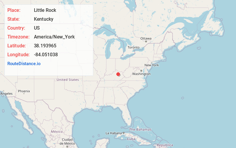
Location Information
-
Full AddressLittle Rock, KY 40311
-
Coordinates38.1939654, -84.051038
-
LocationKentucky , US
-
TimezoneAmerica/New_York
-
Current Local Time3:55:01 PM America/New_YorkWednesday, May 28, 2025
-
Page Views0
About Little Rock
Little Rock is an unincorporated community in Bourbon County, Kentucky, United States. Little Rock is located on Kentucky Route 537 11 miles east of Paris.
Nearby Places
Found 10 places within 50 miles

Plum
1.5 mi
2.4 km
Plum, KY 40311
Get directions
Bunker Hill
2.9 mi
4.7 km
Bunker Hill, KY 40311
Get directions
Jackstown
3.5 mi
5.6 km
Jackstown, KY 40311
Get directions
North Middletown
4.7 mi
7.6 km
North Middletown, KY
Get directions
East Union
4.9 mi
7.9 km
East Union, KY 40311
Get directions
Sideview
5.6 mi
9.0 km
Sideview, KY 40353
Get directions
Blacks Crossroads
6.2 mi
10.0 km
Blacks Crossroads, KY 40361
Get directions

Sharpsburg
6.6 mi
10.6 km
Sharpsburg, KY 40374
Get directions
Grassy Lick
8.0 mi
12.9 km
Grassy Lick, KY 40353
Get directions

Carlisle
8.3 mi
13.4 km
Carlisle, KY 40311
Get directions
Location Links
Local Weather
Weather Information
Coming soon!
Location Map
Static map view of Little Rock, Kentucky
Browse Places by Distance
Places within specific distances from Little Rock
Short Distances
Long Distances
Click any distance to see all places within that range from Little Rock. Distances shown in miles (1 mile ≈ 1.61 kilometers).