Distance to East Union, Kentucky

Calculating Your Route
Just a moment while we process your request...
Location Information
-
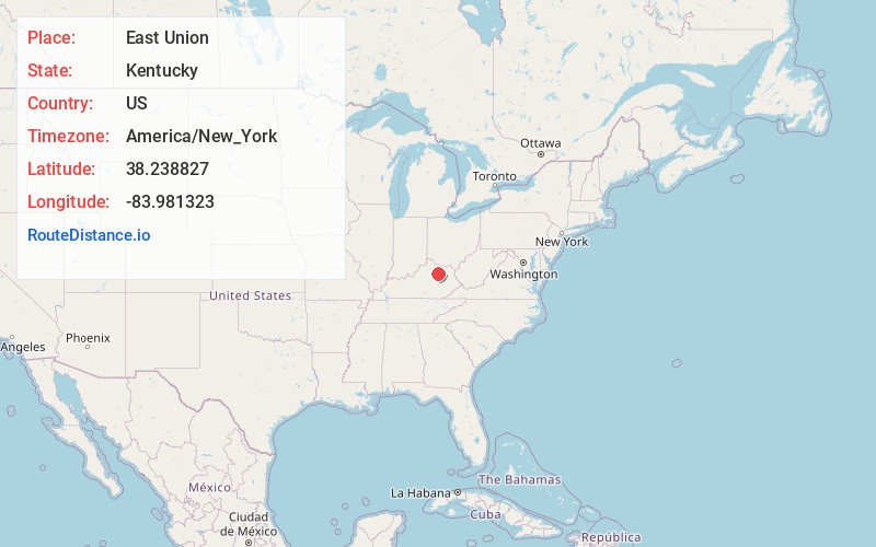
Full AddressEast Union, KY 40311
-
Coordinates38.238827, -83.981323
-
LocationEast Union , Kentucky , US
-
TimezoneAmerica/New_York
-
Current Local Time5:05:52 PM America/New_YorkWednesday, July 2, 2025
-
Page Views0
About East Union
East Union is an unincorporated community in Nicholas County, Kentucky, United States. It lies along Route 57 south, south of the city of Carlisle, the county seat of Nicholas County. Its elevation is 853 feet.
Nearby Places
Found 10 places within 50 miles

Moorefield
3.6 mi
5.8 km
Moorefield, KY 40311
Get directions

Sharpsburg
3.8 mi
6.1 km
Sharpsburg, KY 40374
Get directions
Jackstown
4.2 mi
6.8 km
Jackstown, KY 40311
Get directions
Plum
4.9 mi
7.9 km
Plum, KY 40311
Get directions
Bunker Hill
5.5 mi
8.9 km
Bunker Hill, KY 40311
Get directions

Carlisle
5.6 mi
9.0 km
Carlisle, KY 40311
Get directions
Bethel
6.2 mi
10.0 km
Bethel, KY 40374
Get directions
Myers
7.9 mi
12.7 km
Myers, KY 40311
Get directions
Reynoldsville
9.2 mi
14.8 km
Reynoldsville, KY 40360
Get directions
Upper Blue Licks
9.3 mi
15.0 km
Upper Blue Licks, KY 40350
Get directions
Location Links
Local Weather
Weather Information
Coming soon!
Location Map
Static map view of East Union, Kentucky
Browse Places by Distance
Places within specific distances from East Union
Short Distances
Long Distances
Click any distance to see all places within that range from East Union. Distances shown in miles (1 mile ≈ 1.61 kilometers).