Distance to and from Longrun, Missouri
Longrun, MO 65761
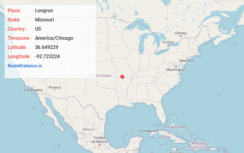
Longrun
Missouri
US
America/Chicago
Location Information
-
Full AddressLongrun, MO 65761
-
Coordinates36.6492286, -92.7232241
-
LocationLongrun , Missouri , US
-
TimezoneAmerica/Chicago
-
Current Local Time9:44:39 AM America/ChicagoSunday, May 4, 2025
-
Page Views0
Directions to Nearest Cities
About Longrun
Longrun is an unincorporated community in western Ozark County, Missouri, United States. It is located on Route 95, approximately 5.7 miles northwest of Theodosia and 5.4 miles southwest of Thornfield. Longrun's post office closed and mail delivery is now served by Theodosia.


Nearby Places
Found 10 places within 50 miles

Lutie
4.5 mi
7.2 km
Lutie, Big Creek Township, MO 65761
Get directions

Hammond
4.7 mi
7.6 km
Hammond, Thornfield Township, MO 65762
Get directions

Theodosia
5.3 mi
8.5 km
Theodosia, MO 65761
Get directions
Thornfield
5.5 mi
8.9 km
Thornfield, MO
Get directions
Ocie
6.6 mi
10.6 km
Ocie, MO 65733
Get directions
Sundown
7.5 mi
12.1 km
Sundown, MO
Get directions
Nottinghill
8.3 mi
13.4 km
Nottinghill, MO 65762
Get directions
Rueter
8.6 mi
13.8 km
Rueter, MO 65761
Get directions

Protem
11.2 mi
18.0 km
Protem, MO 65733
Get directions

Pontiac
11.4 mi
18.3 km
Pontiac, MO 65729
Get directions
Lutie
4.5 mi
7.2 km
Lutie, Big Creek Township, MO 65761
Hammond
4.7 mi
7.6 km
Hammond, Thornfield Township, MO 65762
Theodosia
5.3 mi
8.5 km
Theodosia, MO 65761
Thornfield
5.5 mi
8.9 km
Thornfield, MO
Ocie
6.6 mi
10.6 km
Ocie, MO 65733
Sundown
7.5 mi
12.1 km
Sundown, MO
Nottinghill
8.3 mi
13.4 km
Nottinghill, MO 65762
Rueter
8.6 mi
13.8 km
Rueter, MO 65761
Protem
11.2 mi
18.0 km
Protem, MO 65733
Pontiac
11.4 mi
18.3 km
Pontiac, MO 65729
Location Links
Local Weather
Weather Information
Coming soon!
Location Map
Static map view of Longrun, Missouri
Browse Places by Distance
Places within specific distances from Longrun
Short Distances
Long Distances
Click any distance to see all places within that range from Longrun. Distances shown in miles (1 mile ≈ 1.61 kilometers).