Distance to Ocie, Missouri

Calculating Your Route
Just a moment while we process your request...
Location Information
-
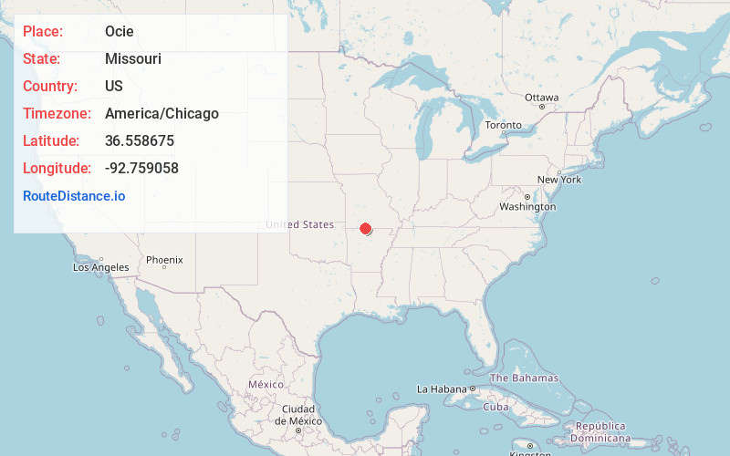
Full AddressOcie, MO 65733
-
Coordinates36.5586752, -92.7590582
-
LocationOcie , Missouri , US
-
TimezoneAmerica/Chicago
-
Current Local Time2:17:36 PM America/ChicagoWednesday, June 18, 2025
-
Page Views0
About Ocie
Ocie is an unincorporated community in southwestern Ozark County, Missouri, United States, 0.66 miles from the Taney County line. It is located 1.1 miles south of U.S. Highway 160, 6.0 miles west-southwest of Theodosia. The townsite is in a valley 0.8 miles north of the Lick Creek arm of Bull Shoals Lake.
Nearby Places
Found 10 places within 50 miles

Theodosia
4.9 mi
7.9 km
Theodosia, MO 65761
Get directions

Protem
5.9 mi
9.5 km
Protem, MO 65733
Get directions

Sundown
6.8 mi
10.9 km
Sundown, MO
Get directions
Rueter
7.0 mi
11.3 km
Rueter, MO 65761
Get directions

Peel
8.7 mi
14.0 km
Peel, AR 72668
Get directions

Pontiac
9.1 mi
14.6 km
Pontiac, MO 65729
Get directions

Hammond
10.3 mi
16.6 km
Hammond, Thornfield Township, MO 65762
Get directions

Diamond City
11.1 mi
17.9 km
Diamond City, AR 72644
Get directions

Oakland
12.4 mi
20.0 km
Oakland, AR 72661
Get directions
Nottinghill
12.7 mi
20.4 km
Nottinghill, MO 65762
Get directions
Location Links
Local Weather
Weather Information
Coming soon!
Location Map
Static map view of Ocie, Missouri
Browse Places by Distance
Places within specific distances from Ocie
Short Distances
Long Distances
Click any distance to see all places within that range from Ocie. Distances shown in miles (1 mile ≈ 1.61 kilometers).