Distance to Lost Coast, California

Calculating Your Route
Just a moment while we process your request...
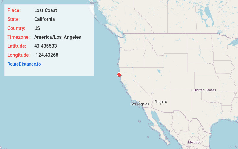
Location Information
-
Full AddressLost Coast, CA 95536
-
Coordinates40.4355332, -124.4026795
-
LocationCalifornia , US
-
TimezoneAmerica/Los_Angeles
-
Current Local Time1:17:54 PM America/Los_AngelesFriday, May 23, 2025
-
Page Views0
About Lost Coast
The Lost Coast is a mostly natural and undeveloped area of the California North Coast in Humboldt and Mendocino counties, which includes the King Range. It was named the "Lost Coast" after the area experienced depopulation in the 1930s.


Nearby Places
Found 10 places within 50 miles

Capetown
3.5 mi
5.6 km
Capetown, CA 95536
Get directions

Petrolia
9.8 mi
15.8 km
Petrolia, CA 95536
Get directions

Ferndale
12.2 mi
19.6 km
Ferndale, CA 95536
Get directions
Hacketsville
12.7 mi
20.4 km
Hacketsville, CA 95536
Get directions
Port Kenyon
12.8 mi
20.6 km
Port Kenyon, CA 95536
Get directions
Arlynda Corners
13.5 mi
21.7 km
Arlynda Corners, CA 95536
Get directions
Waddington
13.9 mi
22.4 km
Waddington, CA 95536
Get directions

Scotia
16.1 mi
25.9 km
Scotia, CA
Get directions

Rio Dell
16.2 mi
26.1 km
Rio Dell, CA
Get directions
Worswick
16.4 mi
26.4 km
Worswick, CA 95540
Get directions
Location Links
Local Weather
Weather Information
Coming soon!
Location Map
Static map view of Lost Coast, California
Browse Places by Distance
Places within specific distances from Lost Coast
Short Distances
Long Distances
Click any distance to see all places within that range from Lost Coast. Distances shown in miles (1 mile ≈ 1.61 kilometers).