Distance to Lothrop, Montana

Calculating Your Route
Just a moment while we process your request...
Location Information
-
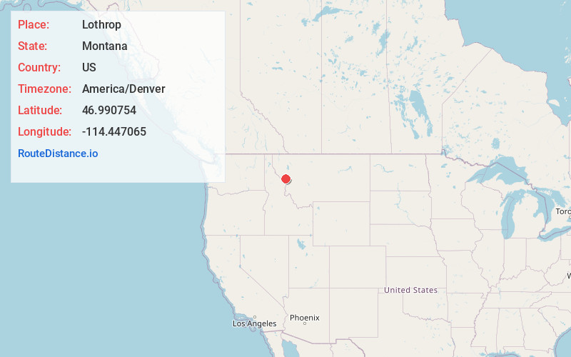
Full AddressLothrop, MT 59820
-
Coordinates46.9907537, -114.4470654
-
LocationLothrop , Montana , US
-
TimezoneAmerica/Denver
-
Current Local Time12:47:42 PM America/DenverWednesday, June 18, 2025
-
Page Views0
About Lothrop
Lothrop is an unincorporated community in Missoula County, Montana, United States.


Nearby Places
Found 10 places within 50 miles

Alberton
1.5 mi
2.4 km
Alberton, MT 59820
Get directions

Huson
6.2 mi
10.0 km
Huson, MT
Get directions

Cyr
6.6 mi
10.6 km
Cyr, MT 59820
Get directions
Frenchtown
10.4 mi
16.7 km
Frenchtown, MT
Get directions
Schilling
11.7 mi
18.8 km
Schilling, MT 59808
Get directions

Tarkio
13.9 mi
22.4 km
Tarkio, MT 59872
Get directions
Primrose
13.9 mi
22.4 km
Primrose, MT 59808
Get directions

Wye
15.6 mi
25.1 km
Wye, MT 59808
Get directions
Nagos
15.7 mi
25.3 km
Nagos, MT 59808
Get directions

Evaro
17.2 mi
27.7 km
Evaro, MT 59808
Get directions
Location Links
Local Weather
Weather Information
Coming soon!
Location Map
Static map view of Lothrop, Montana
Browse Places by Distance
Places within specific distances from Lothrop
Short Distances
Long Distances
Click any distance to see all places within that range from Lothrop. Distances shown in miles (1 mile ≈ 1.61 kilometers).