Distance to Louellen, Kentucky

Calculating Your Route
Just a moment while we process your request...
Location Information
-
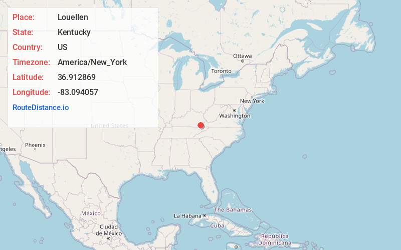
Full AddressLouellen, KY 40828
-
Coordinates36.9128685, -83.0940573
-
LocationLouellen , Kentucky , US
-
TimezoneAmerica/New_York
-
Current Local Time5:50:07 AM America/New_YorkThursday, June 5, 2025
-
Page Views0
About Louellen
Louellen is an unincorporated community and coal town in Harlan County, Kentucky, United States. Their post office is closed.
Nearby Places
Found 10 places within 50 miles

Black Bottom
0.8 mi
1.3 km
Black Bottom, KY 40828
Get directions
Closplint
1.5 mi
2.4 km
Closplint, KY 40927
Get directions
Highsplint
1.8 mi
2.9 km
Highsplint, KY 40828
Get directions
Rileyville
1.9 mi
3.1 km
Rileyville, KY 40927
Get directions
Ridgeway
2.0 mi
3.2 km
Ridgeway, KY 40828
Get directions
Benito
2.1 mi
3.4 km
Benito, KY 40828
Get directions
Clover-Darby
2.2 mi
3.5 km
Clover-Darby, KY 40927
Get directions
Gano
2.4 mi
3.9 km
Gano, KY 40828
Get directions
Totz
2.6 mi
4.2 km
Totz, KY 40870
Get directions
Shields
2.9 mi
4.7 km
Shields, KY 40828
Get directions
Location Links
Local Weather
Weather Information
Coming soon!
Location Map
Static map view of Louellen, Kentucky
Browse Places by Distance
Places within specific distances from Louellen
Short Distances
Long Distances
Click any distance to see all places within that range from Louellen. Distances shown in miles (1 mile ≈ 1.61 kilometers).