Distance to Love, Virginia

Calculating Your Route
Just a moment while we process your request...
Location Information
-
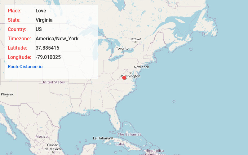
Full AddressLove, VA 22952
-
Coordinates37.8854163, -79.0100253
-
LocationLove , Virginia , US
-
TimezoneAmerica/New_York
-
Current Local Time1:18:38 AM America/New_YorkWednesday, June 18, 2025
-
Page Views0
About Love
Love is an unincorporated community in Augusta County, Virginia, United States.
Love is located on the Blue Ridge Parkway, within the George Washington and Jefferson National Forests. At the beginning of the 20th century the area was home to over 1000 people who farmed the surrounding mountains & hollows.


Nearby Places
Found 10 places within 50 miles

Wintergreen
6.0 mi
9.7 km
Wintergreen, VA 22958
Get directions

Montebello
7.1 mi
11.4 km
Montebello, VA 24464
Get directions

Sherando
7.3 mi
11.7 km
Sherando, VA
Get directions

Nellysford
7.5 mi
12.1 km
Nellysford, VA
Get directions

Massies Mill
7.5 mi
12.1 km
Massies Mill, VA 22967
Get directions

Lipscomb
9.4 mi
15.1 km
Lipscomb, Lyndhurst, VA 24477
Get directions
Martins Store
9.5 mi
15.3 km
Martins Store, VA 22920
Get directions

Roseland
9.7 mi
15.6 km
Roseland, VA 22967
Get directions
Adial
9.9 mi
15.9 km
Adial, VA 22938
Get directions

Stuarts Draft
10.1 mi
16.3 km
Stuarts Draft, VA
Get directions
Location Links
Local Weather
Weather Information
Coming soon!
Location Map
Static map view of Love, Virginia
Browse Places by Distance
Places within specific distances from Love
Short Distances
Long Distances
Click any distance to see all places within that range from Love. Distances shown in miles (1 mile ≈ 1.61 kilometers).