Distance to Lower Cabot Town Forest, Vermont

Calculating Your Route
Just a moment while we process your request...
Location Information
-
Full AddressLower Cabot Town Forest, Cabot, VT 05647
-
Coordinates44.4452386, -72.3141611
-
LocationCabot , Vermont , US
-
TimezoneAmerica/New_York
-
Current Local Time10:31:32 AM America/New_YorkSaturday, May 31, 2025
-
Page Views0
Nearby Places
Found 10 places within 50 miles

Cabot
3.0 mi
4.8 km
Cabot, VT
Get directions

Walden
4.5 mi
7.2 km
Walden, VT
Get directions

Woodbury
5.1 mi
8.2 km
Woodbury, VT
Get directions

Marshfield
6.8 mi
10.9 km
Marshfield, VT
Get directions

Hardwick
6.9 mi
11.1 km
Hardwick, VT
Get directions

Stannard
8.3 mi
13.4 km
Stannard, VT
Get directions

Danville
8.9 mi
14.3 km
Danville, VT
Get directions

Calais
9.2 mi
14.8 km
Calais, VT
Get directions

Wolcott
10.0 mi
16.1 km
Wolcott, VT
Get directions

Peacham
10.7 mi
17.2 km
Peacham, VT
Get directions
Location Links
Local Weather
Weather Information
Coming soon!
Location Map
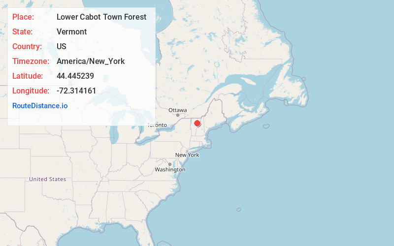
Static map view of Lower Cabot Town Forest, Vermont
Browse Places by Distance
Places within specific distances from Lower Cabot Town Forest
Short Distances
Long Distances
Click any distance to see all places within that range from Lower Cabot Town Forest. Distances shown in miles (1 mile ≈ 1.61 kilometers).