Distance to Lower Gillmore, Kentucky

Calculating Your Route
Just a moment while we process your request...
Location Information
-
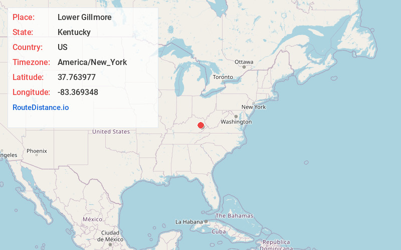
Full AddressLower Gillmore, KY 41332
-
Coordinates37.7639771, -83.3693476
-
LocationKentucky , US
-
TimezoneAmerica/New_York
-
Current Local Time12:54:49 AM America/New_YorkThursday, June 19, 2025
-
Page Views0
Nearby Places
Found 10 places within 50 miles

Helechawa
1.6 mi
2.6 km
Helechawa, KY 41332
Get directions
Sellars
2.6 mi
4.2 km
Sellars, KY 41352
Get directions
Lee City
2.6 mi
4.2 km
Lee City, KY 41301
Get directions
Upper Gillmore
2.8 mi
4.5 km
Upper Gillmore, KY 41301
Get directions
Hazel Green
3.5 mi
5.6 km
Hazel Green, KY 41332
Get directions
Payton
4.7 mi
7.6 km
Payton, KY 41352
Get directions
Rosefork
4.8 mi
7.7 km
Rosefork, KY 41301
Get directions
Murphyfork
5.3 mi
8.5 km
Murphyfork, KY 41332
Get directions
Nickell
5.4 mi
8.7 km
Nickell, KY 41352
Get directions
Cannel City
5.5 mi
8.9 km
Cannel City, KY 41408
Get directions
Location Links
Local Weather
Weather Information
Coming soon!
Location Map
Static map view of Lower Gillmore, Kentucky
Browse Places by Distance
Places within specific distances from Lower Gillmore
Short Distances
Long Distances
Click any distance to see all places within that range from Lower Gillmore. Distances shown in miles (1 mile ≈ 1.61 kilometers).