Distance to Lowndesville, South Carolina

Calculating Your Route
Just a moment while we process your request...
Location Information
-
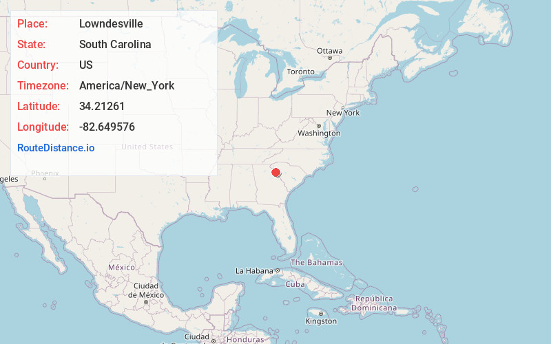
Full AddressLowndesville, SC
-
Coordinates34.21261, -82.6495759
-
LocationLowndesville , South Carolina , US
-
TimezoneAmerica/New_York
-
Current Local Time6:52:11 PM America/New_YorkFriday, June 20, 2025
-
Page Views0
About Lowndesville
Lowndesville is a town in Abbeville County, South Carolina. The population was 120 at the 2020 census.
Nearby Places
Found 10 places within 50 miles

Lake Secession
5.9 mi
9.5 km
Lake Secession, SC
Get directions

Iva
6.5 mi
10.5 km
Iva, SC 29655
Get directions

Antreville
8.8 mi
14.2 km
Antreville, SC
Get directions

Calhoun Falls
8.9 mi
14.3 km
Calhoun Falls, SC 29628
Get directions

Starr
11.7 mi
18.8 km
Starr, SC 29684
Get directions

Elberton
14.3 mi
23.0 km
Elberton, GA 30635
Get directions

Abbeville
15.6 mi
25.1 km
Abbeville, SC 29620
Get directions

Mt Carmel
16.4 mi
26.4 km
Mt Carmel, SC
Get directions

Due West
17.1 mi
27.5 km
Due West, SC 29639
Get directions

Dewy Rose
17.6 mi
28.3 km
Dewy Rose, GA 30634
Get directions
Location Links
Local Weather
Weather Information
Coming soon!
Location Map
Static map view of Lowndesville, South Carolina
Browse Places by Distance
Places within specific distances from Lowndesville
Short Distances
Long Distances
Click any distance to see all places within that range from Lowndesville. Distances shown in miles (1 mile ≈ 1.61 kilometers).