Distance to Lumpkin, California

Calculating Your Route
Just a moment while we process your request...
Location Information
-
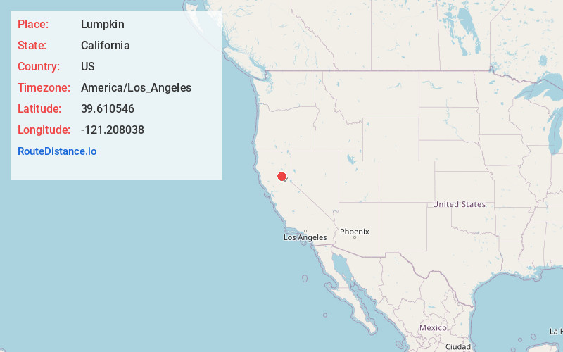
Full AddressLumpkin, CA 95966
-
Coordinates39.610546, -121.208038
-
LocationLumpkin , California , US
-
TimezoneAmerica/Los_Angeles
-
Current Local Time6:11:22 AM America/Los_AngelesMonday, June 23, 2025
-
Page Views0
About Lumpkin
Lumpkin was a ghost town in Butte County, California. It was located 6 miles north-northwest of Clipper Mills on the Feather River Railway, at an elevation of 3586 feet. It was the site of a major lumber mill, producing 3.5 million board feet per year in the late 1880s.
Nearby Places
Found 10 places within 50 miles

Clipper Mills
5.9 mi
9.5 km
Clipper Mills, CA 95930
Get directions

Forbestown
7.2 mi
11.6 km
Forbestown, CA
Get directions

Berry Creek
9.4 mi
15.1 km
Berry Creek, CA
Get directions

Robinson Mill
10.7 mi
17.2 km
Robinson Mill, CA
Get directions

Challenge-Brownsville
11.4 mi
18.3 km
Challenge-Brownsville, CA
Get directions

La Porte
12.9 mi
20.8 km
La Porte, CA 95981
Get directions

Camptonville
13.9 mi
22.4 km
Camptonville, CA 95922
Get directions
Rackerby
14.1 mi
22.7 km
Rackerby, CA 95914
Get directions
Kelly Ridge
15.0 mi
24.1 km
Kelly Ridge, CA 95966
Get directions

Oroville East
15.4 mi
24.8 km
Oroville East, CA 95966
Get directions
Location Links
Local Weather
Weather Information
Coming soon!
Location Map
Static map view of Lumpkin, California
Browse Places by Distance
Places within specific distances from Lumpkin
Short Distances
Long Distances
Click any distance to see all places within that range from Lumpkin. Distances shown in miles (1 mile ≈ 1.61 kilometers).