Distance to Luther, Oklahoma

Calculating Your Route
Just a moment while we process your request...
Location Information
-
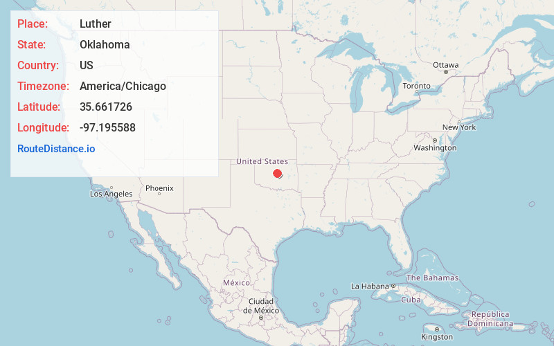
Full AddressLuther, OK 73054
-
Coordinates35.6617259, -97.195588
-
LocationLuther , Oklahoma , US
-
TimezoneAmerica/Chicago
-
Current Local Time10:36:07 AM America/ChicagoTuesday, June 17, 2025
-
Page Views0
About Luther
Luther is a town in Oklahoma County, Oklahoma, United States, and a part of the Oklahoma City Metropolitan Area. The population was 1,221 at the 2010 census. Sperling Best Places lists the population of 4073 for the 73054 Luther zip code, which includes the town and immediate surrounding area of rural residents.


Nearby Places
Found 10 places within 50 miles

Jones
8.4 mi
13.5 km
Jones, OK
Get directions

Harrah
12.0 mi
19.3 km
Harrah, OK
Get directions

Choctaw
12.1 mi
19.5 km
Choctaw, OK 73020
Get directions

Nicoma Park
13.8 mi
22.2 km
Nicoma Park, OK
Get directions

Spencer
14.3 mi
23.0 km
Spencer, OK
Get directions

Edmond
15.9 mi
25.6 km
Edmond, OK
Get directions

McLoud
16.7 mi
26.9 km
McLoud, OK
Get directions

Chandler
17.9 mi
28.8 km
Chandler, OK 74834
Get directions

Midwest City
18.5 mi
29.8 km
Midwest City, OK
Get directions

Guthrie
19.8 mi
31.9 km
Guthrie, OK
Get directions
Location Links
Local Weather
Weather Information
Coming soon!
Location Map
Static map view of Luther, Oklahoma
Browse Places by Distance
Places within specific distances from Luther
Short Distances
Long Distances
Click any distance to see all places within that range from Luther. Distances shown in miles (1 mile ≈ 1.61 kilometers).