Distance to Machpelah, North Carolina

Calculating Your Route
Just a moment while we process your request...
Location Information
-
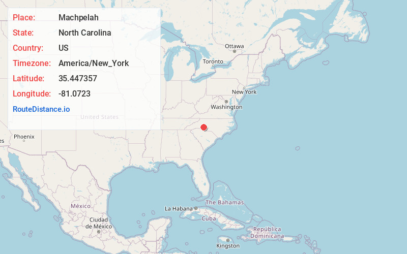
Full AddressMachpelah, NC 28080
-
Coordinates35.4473573, -81.0722995
-
LocationNorth Carolina , US
-
TimezoneAmerica/New_York
-
Current Local Time5:29:32 AM America/New_YorkWednesday, June 18, 2025
-
Page Views0
Nearby Places
Found 10 places within 50 miles

Lowesville
4.0 mi
6.4 km
Lowesville, NC
Get directions
Alexis
4.2 mi
6.8 km
Alexis, NC
Get directions
Iron Station
4.7 mi
7.6 km
Iron Station, NC 28080
Get directions

Denver
6.3 mi
10.1 km
Denver, NC
Get directions
Westport
6.5 mi
10.5 km
Westport, NC
Get directions

Stanley
6.6 mi
10.6 km
Stanley, NC
Get directions
Cowans Ford
6.7 mi
10.8 km
Cowans Ford, NC 28164
Get directions
Killian Crossroads
7.7 mi
12.4 km
Killian Crossroads, NC 28650
Get directions
Webbs
7.8 mi
12.6 km
Webbs, Westport, NC 28037
Get directions

High Shoals
8.0 mi
12.9 km
High Shoals, NC
Get directions
Location Links
Local Weather
Weather Information
Coming soon!
Location Map
Static map view of Machpelah, North Carolina
Browse Places by Distance
Places within specific distances from Machpelah
Short Distances
Long Distances
Click any distance to see all places within that range from Machpelah. Distances shown in miles (1 mile ≈ 1.61 kilometers).