Distance to Makinen, Minnesota

Calculating Your Route
Just a moment while we process your request...
Location Information
-
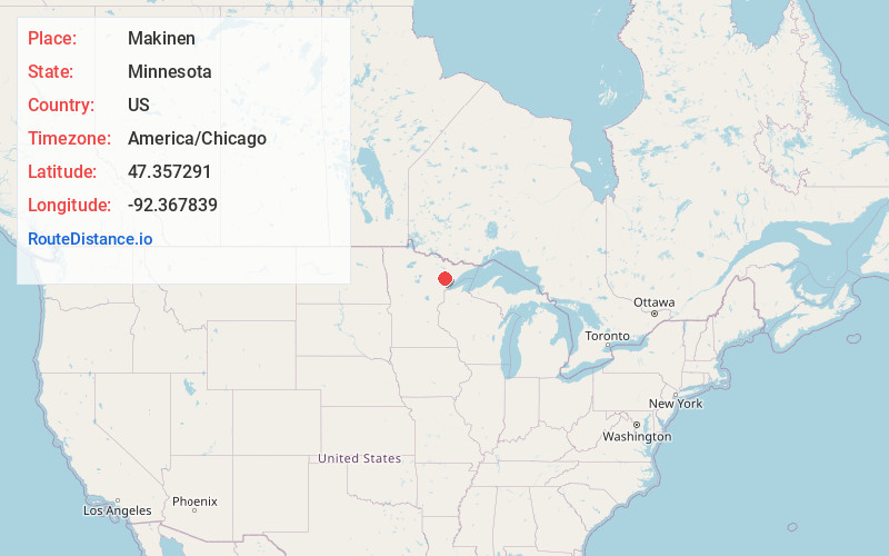
Full AddressMakinen, MN
-
Coordinates47.3572907, -92.3678391
-
LocationMakinen , Minnesota , US
-
TimezoneAmerica/Chicago
-
Current Local Time10:01:55 AM America/ChicagoSunday, June 1, 2025
-
Page Views0
About Makinen
Makinen is an unincorporated community in St. Louis County, Minnesota, United States.
The community is located 18 miles southeast of the city of Virginia, and 14 miles southeast of the city of Eveleth, at the intersection of Saint Louis County Road 16 and County Road 108.
U.S. Highway 53 is nearby.
Nearby Places
Found 10 places within 50 miles

Palo
6.5 mi
10.5 km
Palo, MN 55705
Get directions

Melrude
8.1 mi
13.0 km
Melrude, MN 55724
Get directions

Markham
8.1 mi
13.0 km
Markham, MN 55763
Get directions
Peary
8.9 mi
14.3 km
Peary, MN 55738
Get directions

Gilbert
10.2 mi
16.4 km
Gilbert, MN
Get directions
Spruce
10.3 mi
16.6 km
Spruce, MN 55734
Get directions

Eveleth
10.8 mi
17.4 km
Eveleth, MN 55734
Get directions
McKinley
10.9 mi
17.5 km
McKinley, MN 55741
Get directions
Ramshaw
11.1 mi
17.9 km
Ramshaw, MN 55751
Get directions
Forbes
11.1 mi
17.9 km
Forbes, MN 55738
Get directions
Location Links
Local Weather
Weather Information
Coming soon!
Location Map
Static map view of Makinen, Minnesota
Browse Places by Distance
Places within specific distances from Makinen
Short Distances
Long Distances
Click any distance to see all places within that range from Makinen. Distances shown in miles (1 mile ≈ 1.61 kilometers).