Distance to Markham, Minnesota

Calculating Your Route
Just a moment while we process your request...
Location Information
-
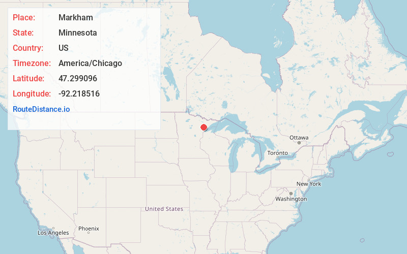
Full AddressMarkham, MN 55763
-
Coordinates47.2990964, -92.2185155
-
LocationMarkham , Minnesota , US
-
TimezoneAmerica/Chicago
-
Current Local Time4:25:18 PM America/ChicagoWednesday, June 18, 2025
-
Page Views0
About Markham
Markham is an unincorporated community in Colvin Township, Saint Louis County, Minnesota, United States.
The community is located between Biwabik and Duluth, near the intersection of County Road 4 and County Road 108.
Markham is located 19 miles south of the city of Biwabik; and 42 miles north of the city of Duluth.
Nearby Places
Found 10 places within 50 miles

Palo
8.3 mi
13.4 km
Palo, MN 55705
Get directions

Melrude
10.0 mi
16.1 km
Melrude, MN 55724
Get directions

Whiteface Reservoir
10.1 mi
16.3 km
Whiteface Reservoir, MN
Get directions

Cotton
15.1 mi
24.3 km
Cotton, MN 55724
Get directions

Hoyt Lakes
15.7 mi
25.3 km
Hoyt Lakes, MN
Get directions

Aurora
16.0 mi
25.7 km
Aurora, MN
Get directions
Skibo
16.6 mi
26.7 km
Skibo, MN 55750
Get directions
Pineville
16.7 mi
26.9 km
Pineville, MN 55705
Get directions

Biwabik
17.1 mi
27.5 km
Biwabik, MN
Get directions
McKinley
17.3 mi
27.8 km
McKinley, MN 55741
Get directions
Location Links
Local Weather
Weather Information
Coming soon!
Location Map
Static map view of Markham, Minnesota
Browse Places by Distance
Places within specific distances from Markham
Short Distances
Long Distances
Click any distance to see all places within that range from Markham. Distances shown in miles (1 mile ≈ 1.61 kilometers).