Distance to Malden, West Virginia

Calculating Your Route
Just a moment while we process your request...
Location Information
-
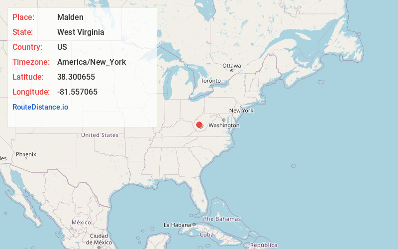
Full AddressMalden, WV 25306
-
Coordinates38.3006553, -81.557065
-
LocationMalden , West Virginia , US
-
TimezoneAmerica/New_York
-
Current Local Time8:40:26 PM America/New_YorkFriday, June 6, 2025
-
Page Views0
About Malden
Malden — originally called Kanawha Salines — is an unincorporated community in Kanawha County, West Virginia, United States, within the Charleston metro area.


Nearby Places
Found 10 places within 50 miles

Rand
1.3 mi
2.1 km
Rand, WV 25306
Get directions

Coal Fork
2.3 mi
3.7 km
Coal Fork, WV 25306
Get directions
Dupont City
2.6 mi
4.2 km
Dupont City, WV 25015
Get directions

Marmet
3.9 mi
6.3 km
Marmet, WV
Get directions

Belle
4.9 mi
7.9 km
Belle, WV 25015
Get directions

Charleston
5.3 mi
8.5 km
Charleston, WV
Get directions

Chesapeake
5.5 mi
8.9 km
Chesapeake, WV
Get directions

Chelyan
8.1 mi
13.0 km
Chelyan, WV
Get directions
East Bank
8.4 mi
13.5 km
East Bank, WV 25067
Get directions

Pinch
8.5 mi
13.7 km
Pinch, WV 25071
Get directions
Location Links
Local Weather
Weather Information
Coming soon!
Location Map
Static map view of Malden, West Virginia
Browse Places by Distance
Places within specific distances from Malden
Short Distances
Long Distances
Click any distance to see all places within that range from Malden. Distances shown in miles (1 mile ≈ 1.61 kilometers).