Distance to Mandeville, Arkansas

Calculating Your Route
Just a moment while we process your request...
Location Information
-
Full AddressMandeville, AR 71854
-
Coordinates33.4817907, -93.9640754
-
NeighborhoodMandeville
-
LocationMandeville , Arkansas , US
-
TimezoneAmerica/Chicago
-
Current Local Time6:36:17 PM America/ChicagoSaturday, May 31, 2025
-
Page Views0
About Mandeville
Mandeville is an unincorporated community in Miller County, Arkansas, United States.
Mandeville is the location of Old US 67, Mandeville, which is listed on the National Register of Historic Places, and described as being at AR 296, Miller County Road 138 and southeast of the current US 67.
Nearby Places
Found 10 places within 50 miles

Texarkana
5.5 mi
8.9 km
Texarkana, AR 71854
Get directions

Texarkana
6.2 mi
10.0 km
Texarkana, TX
Get directions

Dooley
6.2 mi
10.0 km
Dooley, AR 71854
Get directions
Index
6.4 mi
10.3 km
Index, AR 71854
Get directions
Temple
7.1 mi
11.4 km
Temple, AR 71853
Get directions
Ogden
8.6 mi
13.8 km
Ogden, AR
Get directions

Genoa
8.7 mi
14.0 km
Genoa, AR
Get directions
Clipper
8.9 mi
14.3 km
Clipper, AR 71854
Get directions

Wake Village
9.0 mi
14.5 km
Wake Village, TX
Get directions
Boyd
9.9 mi
15.9 km
Boyd, AR 71837
Get directions
Location Links
Local Weather
Weather Information
Coming soon!
Location Map
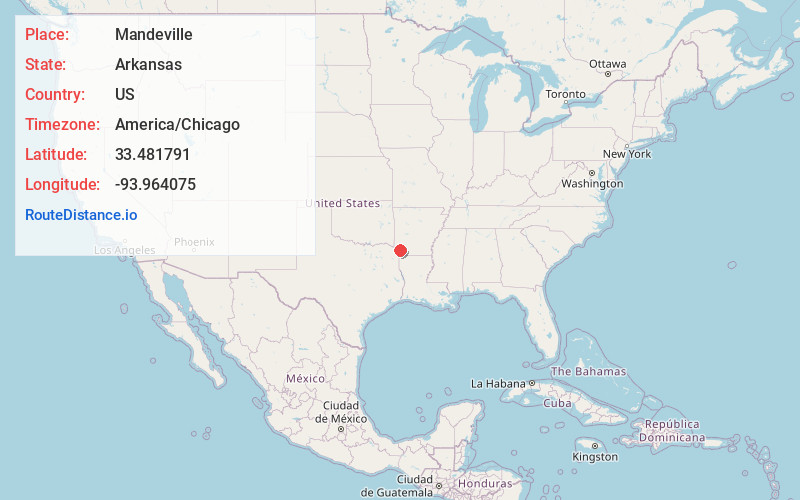
Static map view of Mandeville, Arkansas
Browse Places by Distance
Places within specific distances from Mandeville
Short Distances
Long Distances
Click any distance to see all places within that range from Mandeville. Distances shown in miles (1 mile ≈ 1.61 kilometers).