Distance to Mannington, Kentucky
Location Information
-
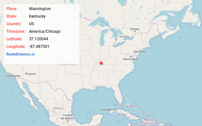
Full AddressMannington, KY 42217
-
Coordinates37.1200443, -87.4875008
-
LocationKentucky , US
-
TimezoneAmerica/Chicago
-
Current Local Time10:36:18 AM America/ChicagoFriday, May 16, 2025
-
Page Views0
About Mannington
Mannington is an unincorporated community and coal town in Christian County, Kentucky, United States.
Nearby Places
Found 10 places within 50 miles

Crofton
5.0 mi
8.0 km
Crofton, KY 42217
Get directions

Nortonville
5.0 mi
8.0 km
Nortonville, KY 42442
Get directions

St Charles
5.9 mi
9.5 km
St Charles, KY
Get directions

Little Valley
6.1 mi
9.8 km
Little Valley, KY 42442
Get directions

White Plains
7.2 mi
11.6 km
White Plains, KY 42464
Get directions

Mortons Gap
8.1 mi
13.0 km
Mortons Gap, KY
Get directions

Ilsley
8.7 mi
14.0 km
Ilsley, KY 42408
Get directions
Murphy Ford
9.1 mi
14.6 km
Murphy Ford, KY 42453
Get directions


Leaflet © OpenStreetMap contributors
Location Links
Local Weather
Weather Information
Coming soon!
Location Map
Static map view of Mannington, Kentucky
Browse Places by Distance
Places within specific distances from Mannington
Short Distances
Long Distances
Click any distance to see all places within that range from Mannington. Distances shown in miles (1 mile ≈ 1.61 kilometers).