Distance to Maple Ridge, Ohio

Calculating Your Route
Just a moment while we process your request...
Location Information
-
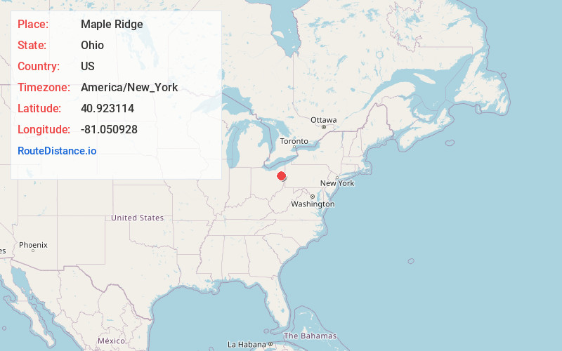
Full AddressMaple Ridge, OH
-
Coordinates40.9231141, -81.0509278
-
LocationMaple Ridge , Ohio , US
-
TimezoneAmerica/New_York
-
Current Local Time2:06:33 PM America/New_YorkThursday, July 3, 2025
-
Page Views0
About Maple Ridge
Maple Ridge is a census-designated place in southwestern Mahoning County, Ohio, United States, located between Alliance and Sebring. The population was 667 at the 2020 census. It is part of the Youngstown–Warren metropolitan area.
Nearby Places
Found 10 places within 50 miles

Sebring
1.7 mi
2.7 km
Sebring, OH
Get directions

Alliance
2.9 mi
4.7 km
Alliance, OH 44601
Get directions

Beloit
3.0 mi
4.8 km
Beloit, OH
Get directions

Homeworth
6.1 mi
9.8 km
Homeworth, OH 44634
Get directions

Atwater
9.1 mi
14.6 km
Atwater, OH 44201
Get directions

Salem
10.3 mi
16.6 km
Salem, OH 44460
Get directions

Guilford Lake
12.4 mi
20.0 km
Guilford Lake, OH
Get directions

Louisville
12.4 mi
20.0 km
Louisville, OH 44641
Get directions

Minerva
13.7 mi
22.0 km
Minerva, OH 44657
Get directions

Craig Beach
13.9 mi
22.4 km
Craig Beach, OH 44429
Get directions
Location Links
Local Weather
Weather Information
Coming soon!
Location Map
Static map view of Maple Ridge, Ohio
Browse Places by Distance
Places within specific distances from Maple Ridge
Short Distances
Long Distances
Click any distance to see all places within that range from Maple Ridge. Distances shown in miles (1 mile ≈ 1.61 kilometers).