Distance to Marion Forks, Oregon

Calculating Your Route
Just a moment while we process your request...
Location Information
-
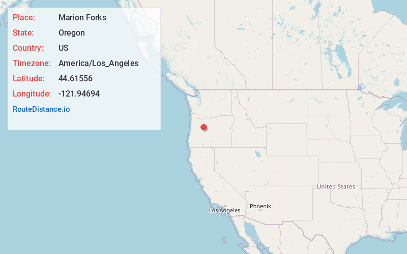
Full AddressMarion Forks, OR 97350
-
Coordinates44.61556, -121.94694
-
LocationMarion Forks , Oregon , US
-
TimezoneAmerica/Los_Angeles
-
Current Local Time9:33:25 PM America/Los_AngelesTuesday, June 24, 2025
-
Page Views0
About Marion Forks
Marion Forks is an unincorporated community on the North Santiam Highway, 15 miles south of the city of Detroit, in Linn County, Oregon, United States.
The community is named for the nearby river fork where Marion Creek is received by the North Santiam River at the latter's river mile 86.


Nearby Places
Found 10 places within 50 miles

Mowich Lake
8.6 mi
13.8 km
Mowich Lake, Oregon 97759
Get directions

Idanha
8.8 mi
14.2 km
Idanha, OR 97350
Get directions

Detroit
12.9 mi
20.8 km
Detroit, OR 97342
Get directions

Camp Sherman
18.4 mi
29.6 km
Camp Sherman, OR 97730
Get directions

Niagara
21.5 mi
34.6 km
Niagara, OR 97346
Get directions

Black Butte Ranch
21.9 mi
35.2 km
Black Butte Ranch, OR
Get directions

Upper Soda
22.0 mi
35.4 km
Upper Soda, OR 97329
Get directions

Gates
25.0 mi
40.2 km
Gates, OR
Get directions

Elkhorn
25.4 mi
40.9 km
Elkhorn, OR 97358
Get directions

Mill City
27.8 mi
44.7 km
Mill City, OR
Get directions
Location Links
Local Weather
Weather Information
Coming soon!
Location Map
Static map view of Marion Forks, Oregon
Browse Places by Distance
Places within specific distances from Marion Forks
Short Distances
Long Distances
Click any distance to see all places within that range from Marion Forks. Distances shown in miles (1 mile ≈ 1.61 kilometers).