Distance to Upper Soda, Oregon

Calculating Your Route
Just a moment while we process your request...
Location Information
-
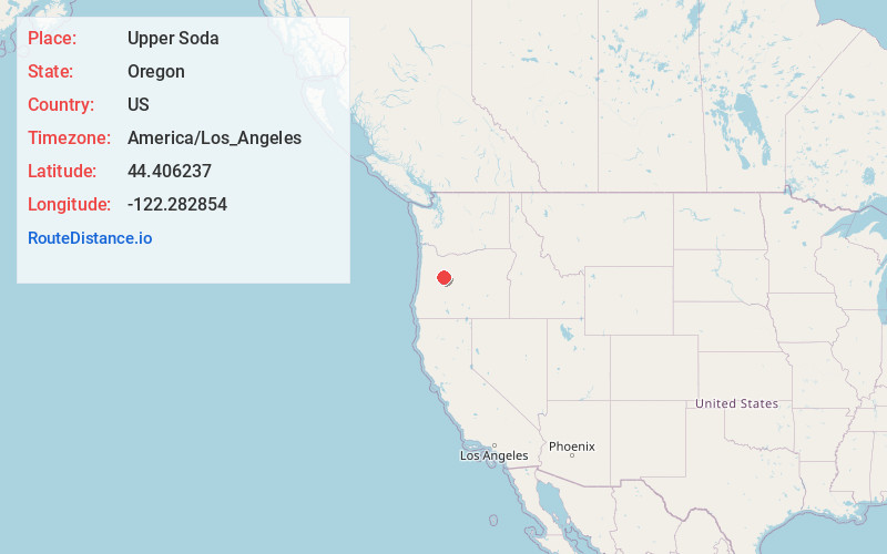
Full AddressUpper Soda, OR 97329
-
Coordinates44.4062365, -122.2828536
-
LocationUpper Soda , Oregon , US
-
TimezoneAmerica/Los_Angeles
-
Current Local Time8:30:01 PM America/Los_AngelesThursday, May 29, 2025
-
Page Views0

Nearby Places
Found 10 places within 50 miles

Cascadia
10.0 mi
16.1 km
Cascadia, OR
Get directions

Blue River
10.8 mi
17.4 km
Blue River, Oregon 97413
Get directions

Rainbow
16.7 mi
26.9 km
Rainbow, OR 97413
Get directions

McKenzie Bridge
17.0 mi
27.4 km
McKenzie Bridge, OR 97413
Get directions

Belknap Springs
18.9 mi
30.4 km
Belknap Springs, OR 97413
Get directions

Foley Springs
19.7 mi
31.7 km
Foley Springs, OR 97413
Get directions
Finn Rock
19.8 mi
31.9 km
Finn Rock, OR 97488
Get directions

Nimrod
21.3 mi
34.3 km
Nimrod, OR 97488
Get directions

Sweet Home
22.4 mi
36.0 km
Sweet Home, OR
Get directions

Idanha
22.8 mi
36.7 km
Idanha, OR 97350
Get directions
Location Links
Local Weather
Weather Information
Coming soon!
Location Map
Static map view of Upper Soda, Oregon
Browse Places by Distance
Places within specific distances from Upper Soda
Short Distances
Long Distances
Click any distance to see all places within that range from Upper Soda. Distances shown in miles (1 mile ≈ 1.61 kilometers).