Distance to McKenzie Bridge, Oregon

Calculating Your Route
Just a moment while we process your request...
Location Information
-
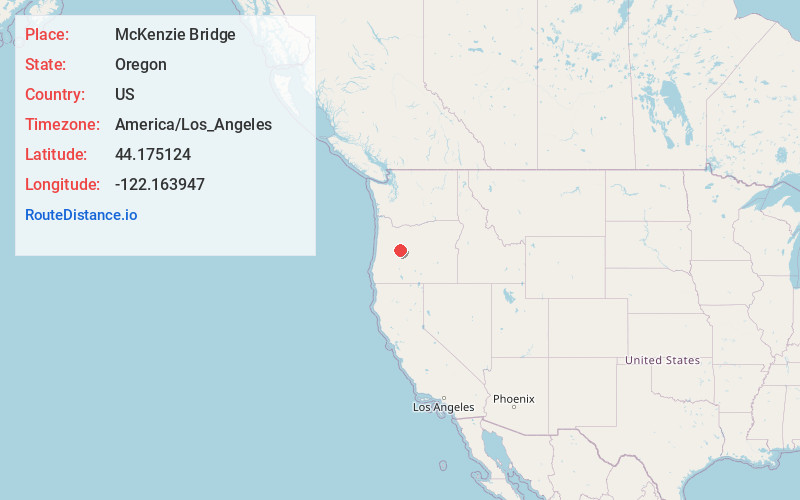
Full AddressMcKenzie Bridge, OR 97413
-
Coordinates44.1751238, -122.1639473
-
LocationMcKenzie Bridge , Oregon , US
-
TimezoneAmerica/Los_Angeles
-
Current Local Time11:29:55 AM America/Los_AngelesTuesday, July 1, 2025
-
Page Views0
About McKenzie Bridge
McKenzie Bridge is an unincorporated community in Lane County, Oregon, United States, on the McKenzie River and within Willamette National Forest. It is along Oregon Route 126, about 53 miles east of Eugene, between Rainbow and Belknap Springs. The McKenzie Bridge State Airport is about 4 miles east of the community.


Nearby Places
Found 10 places within 50 miles

Foley Springs
3.5 mi
5.6 km
Foley Springs, OR 97413
Get directions

Rainbow
3.6 mi
5.8 km
Rainbow, OR 97413
Get directions

Belknap Springs
5.8 mi
9.3 km
Belknap Springs, OR 97413
Get directions

Blue River
6.2 mi
10.0 km
Blue River, Oregon 97413
Get directions
Finn Rock
11.3 mi
18.2 km
Finn Rock, OR 97488
Get directions

Nimrod
13.5 mi
21.7 km
Nimrod, OR 97488
Get directions

Cascadia
22.0 mi
35.4 km
Cascadia, OR
Get directions

Black Butte Ranch
28.9 mi
46.5 km
Black Butte Ranch, OR
Get directions

Sisters
31.5 mi
50.7 km
Sisters, OR 97759
Get directions

Sweet Home
32.2 mi
51.8 km
Sweet Home, OR
Get directions
Location Links
Local Weather
Weather Information
Coming soon!
Location Map
Static map view of McKenzie Bridge, Oregon
Browse Places by Distance
Places within specific distances from McKenzie Bridge
Short Distances
Long Distances
Click any distance to see all places within that range from McKenzie Bridge. Distances shown in miles (1 mile ≈ 1.61 kilometers).