Distance to Foley Springs, Oregon

Calculating Your Route
Just a moment while we process your request...
Location Information
-
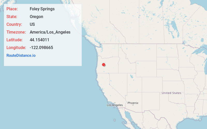
Full AddressFoley Springs, OR 97413
-
Coordinates44.1540111, -122.0986647
-
LocationFoley Springs , Oregon , US
-
TimezoneAmerica/Los_Angeles
-
Current Local Time9:10:07 PM America/Los_AngelesFriday, June 13, 2025
-
Page Views0
Nearby Places
Found 10 places within 50 miles

Rainbow
6.8 mi
10.9 km
Rainbow, OR 97413
Get directions

Nimrod
16.3 mi
26.2 km
Nimrod, OR 97488
Get directions

Cascadia
25.4 mi
40.9 km
Cascadia, OR
Get directions

Black Butte Ranch
26.9 mi
43.3 km
Black Butte Ranch, OR
Get directions

Sisters
28.8 mi
46.3 km
Sisters, OR 97759
Get directions

Camp Sherman
30.9 mi
49.7 km
Camp Sherman, OR 97730
Get directions

Oakridge
33.5 mi
53.9 km
Oakridge, OR
Get directions

Westfir
33.8 mi
54.4 km
Westfir, OR 97492
Get directions

Sweet Home
35.8 mi
57.6 km
Sweet Home, OR
Get directions

Holley
36.6 mi
58.9 km
Holley, OR 97386
Get directions
Location Links
Local Weather
Weather Information
Coming soon!
Location Map
Static map view of Foley Springs, Oregon
Browse Places by Distance
Places within specific distances from Foley Springs
Short Distances
Long Distances
Click any distance to see all places within that range from Foley Springs. Distances shown in miles (1 mile ≈ 1.61 kilometers).