Distance to Marlboro, Ohio

Calculating Your Route
Just a moment while we process your request...
Location Information
-
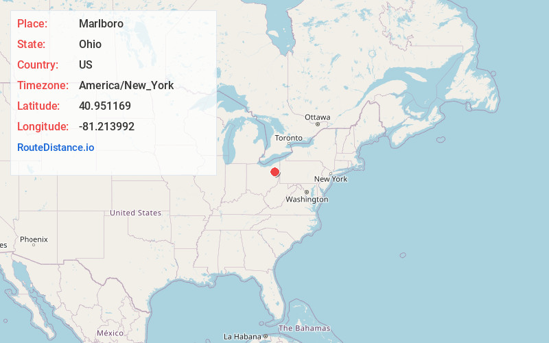
Full AddressMarlboro, OH
-
Coordinates40.9511692, -81.2139919
-
LocationMarlboro , Ohio , US
-
TimezoneAmerica/New_York
-
Current Local Time5:22:50 AM America/New_YorkWednesday, June 18, 2025
-
Page Views0
About Marlboro
Marlboro is a census-designated place in Stark County, Ohio, United States.
Nearby Places
Found 10 places within 50 miles

Atwater
5.7 mi
9.2 km
Atwater, OH 44201
Get directions

Alliance
6.2 mi
10.0 km
Alliance, OH 44601
Get directions

Hartville
6.2 mi
10.0 km
Hartville, OH 44632
Get directions

Middlebranch
7.3 mi
11.7 km
Middlebranch, OH 44721
Get directions

Louisville
8.2 mi
13.2 km
Louisville, OH 44641
Get directions
Maple Ridge
8.7 mi
14.0 km
Maple Ridge, OH
Get directions

Suffield Township
9.0 mi
14.5 km
Suffield Township, OH
Get directions

Greentown
10.0 mi
16.1 km
Greentown, OH
Get directions

Uniontown
10.3 mi
16.6 km
Uniontown, OH
Get directions

Sebring
10.4 mi
16.7 km
Sebring, OH
Get directions
Location Links
Local Weather
Weather Information
Coming soon!
Location Map
Static map view of Marlboro, Ohio
Browse Places by Distance
Places within specific distances from Marlboro
Short Distances
Long Distances
Click any distance to see all places within that range from Marlboro. Distances shown in miles (1 mile ≈ 1.61 kilometers).