Distance to Maryetta, Oklahoma

Calculating Your Route
Just a moment while we process your request...
Location Information
-
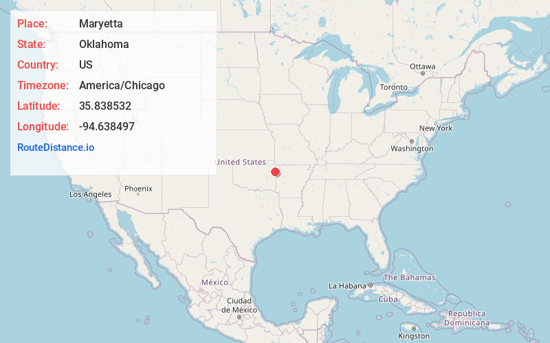
Full AddressMaryetta, OK 74960
-
Coordinates35.8385319, -94.6384965
-
LocationMaryetta , Oklahoma , US
-
TimezoneAmerica/Chicago
-
Current Local Time11:50:36 PM America/ChicagoWednesday, June 18, 2025
-
Page Views0
About Maryetta
Marietta is a census-designated place in Adair County, Oklahoma, United States. The population was 106 at the 2010 census. The community was listed as Maryetta at the 2000 census, at which time it had a population of 138.
Nearby Places
Found 10 places within 50 miles

Fairfield
1.6 mi
2.6 km
Fairfield, OK 74960
Get directions

Stilwell
1.7 mi
2.7 km
Stilwell, OK 74960
Get directions
Zion
3.3 mi
5.3 km
Zion, OK 74960
Get directions
Mulberry
3.7 mi
6.0 km
Mulberry, OK 74960
Get directions
Peavine
3.8 mi
6.1 km
Peavine, OK
Get directions
Stony Point
3.8 mi
6.1 km
Stony Point, Oklahoma 74960
Get directions
Blanch
4.1 mi
6.6 km
Blanch, OK 74960
Get directions
Lyons Switch
5.3 mi
8.5 km
Lyons Switch, OK
Get directions
Elm Grove
5.4 mi
8.7 km
Elm Grove, OK 74960
Get directions
West Peavine
5.5 mi
8.9 km
West Peavine, OK
Get directions
Location Links
Local Weather
Weather Information
Coming soon!
Location Map
Static map view of Maryetta, Oklahoma
Browse Places by Distance
Places within specific distances from Maryetta
Short Distances
Long Distances
Click any distance to see all places within that range from Maryetta. Distances shown in miles (1 mile ≈ 1.61 kilometers).