Distance to Massillon, Iowa

Calculating Your Route
Just a moment while we process your request...
Location Information
-
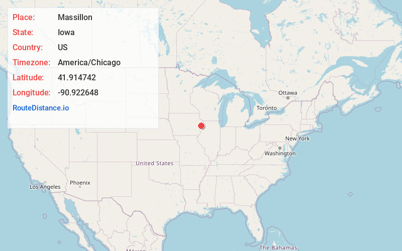
Full AddressMassillon, IA 52255
-
Coordinates41.9147422, -90.9226477
-
LocationMassillon , Iowa , US
-
TimezoneAmerica/Chicago
-
Current Local Time9:50:07 AM America/ChicagoTuesday, July 1, 2025
-
Page Views0
About Massillon
Massillon is an unincorporated community in Massillon Township, Cedar County, Iowa, United States. It is south of the Wapsipinicon River on County Road Y24, west of Toronto and north of Lowden in the northeastern corner of the county.
Nearby Places
Found 10 places within 50 miles

Toronto
3.1 mi
5.0 km
Toronto, IA 52777
Get directions

Lowden
4.0 mi
6.4 km
Lowden, IA 52255
Get directions

Oxford Mills
4.3 mi
6.9 km
Oxford Mills, IA 52323
Get directions

Oxford Junction
5.1 mi
8.2 km
Oxford Junction, IA 52323
Get directions
North Cedar Community School District
5.7 mi
9.2 km
North Cedar Community School District, IA
Get directions

Lost Nation
6.4 mi
10.3 km
Lost Nation, IA 52254
Get directions
Clarence
7.1 mi
11.4 km
Clarence, IA 52216
Get directions

Wheatland
7.2 mi
11.6 km
Wheatland, IA 52777
Get directions

Hale
9.7 mi
15.6 km
Hale, IA 52362
Get directions

Calamus
10.5 mi
16.9 km
Calamus, IA 52729
Get directions
Location Links
Local Weather
Weather Information
Coming soon!
Location Map
Static map view of Massillon, Iowa
Browse Places by Distance
Places within specific distances from Massillon
Short Distances
Long Distances
Click any distance to see all places within that range from Massillon. Distances shown in miles (1 mile ≈ 1.61 kilometers).