Distance to Maximo, Ohio

Calculating Your Route
Just a moment while we process your request...
Location Information
-
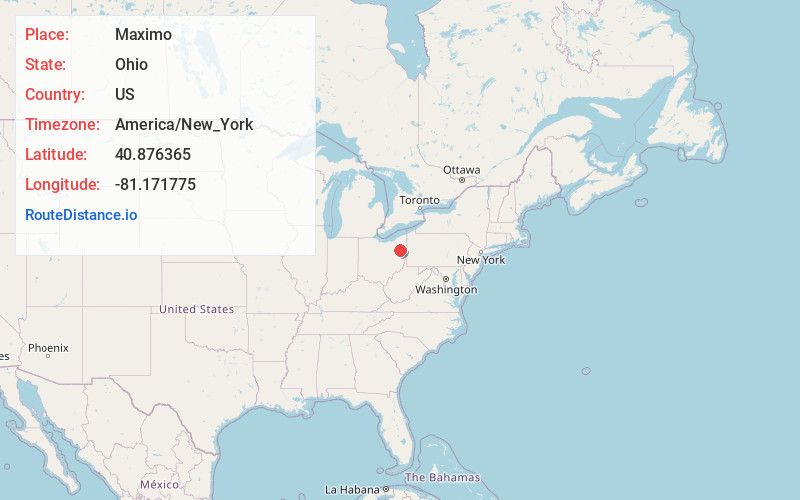
Full AddressMaximo, OH 44601
-
Coordinates40.8763652, -81.1717745
-
LocationMaximo , Ohio , US
-
TimezoneAmerica/New_York
-
Current Local Time2:25:37 AM America/New_YorkTuesday, July 1, 2025
-
Page Views0
About Maximo
Maximo is an unincorporated community in northwestern Washington Township, Stark County, Ohio, United States. It has a post office with the ZIP code 44650. The community is part of the Canton–Massillon Metropolitan Statistical Area.
Nearby Places
Found 10 places within 50 miles

Freeburg
3.2 mi
5.1 km
Freeburg, Washington Township, OH 44669
Get directions

Alliance
4.4 mi
7.1 km
Alliance, OH 44601
Get directions

Louisville
5.3 mi
8.5 km
Louisville, OH 44641
Get directions

Paris
5.5 mi
8.9 km
Paris, OH 44669
Get directions
Marlboro
5.6 mi
9.0 km
Marlboro, OH
Get directions

Homeworth
6.1 mi
9.8 km
Homeworth, OH 44634
Get directions
Maple Ridge
7.1 mi
11.4 km
Maple Ridge, OH
Get directions
Fairhope
7.4 mi
11.9 km
Fairhope, OH 44641
Get directions
Limaville
7.4 mi
11.9 km
Limaville, OH
Get directions
Myers
7.6 mi
12.2 km
Myers, OH 44657
Get directions
Location Links
Local Weather
Weather Information
Coming soon!
Location Map
Static map view of Maximo, Ohio
Browse Places by Distance
Places within specific distances from Maximo
Short Distances
Long Distances
Click any distance to see all places within that range from Maximo. Distances shown in miles (1 mile ≈ 1.61 kilometers).