Distance to Maxwell, Indiana

Calculating Your Route
Just a moment while we process your request...
Location Information
-
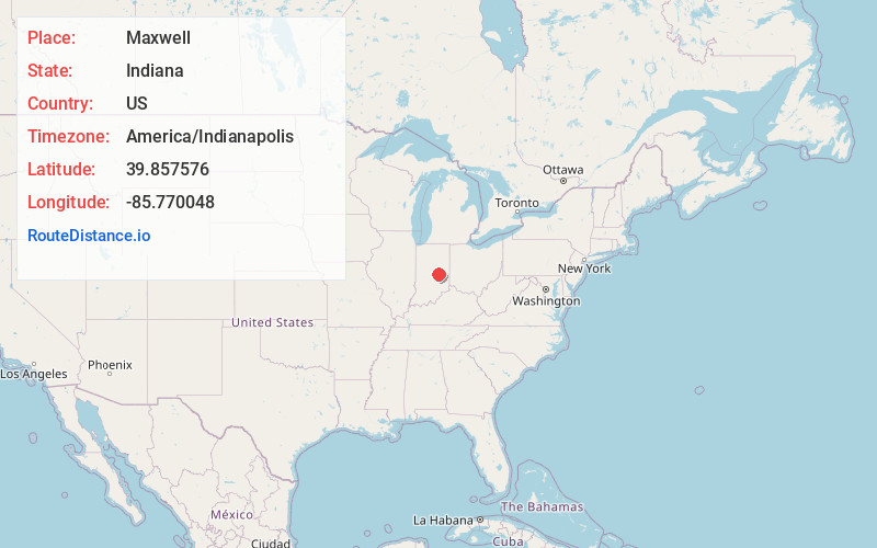
Full AddressMaxwell, IN
-
Coordinates39.8575755, -85.7700477
-
LocationMaxwell , Indiana , US
-
TimezoneAmerica/Indianapolis
-
Page Views0
About Maxwell
Maxwell is an unincorporated community in Center Township, Hancock County, Indiana.
Nearby Places
Found 10 places within 50 miles

Greenfield
5.0 mi
8.0 km
Greenfield, IN 46140
Get directions

Fortville
6.6 mi
10.6 km
Fortville, IN
Get directions

Ingalls
7.0 mi
11.3 km
Ingalls, IN
Get directions

Spring Lake
7.1 mi
11.4 km
Spring Lake, IN 46140
Get directions

McCordsville
8.3 mi
13.4 km
McCordsville, IN
Get directions
Wilkinson
8.8 mi
14.2 km
Wilkinson, IN 46186
Get directions

Charlottesville
9.5 mi
15.3 km
Charlottesville, IN
Get directions

Pendleton
10.1 mi
16.3 km
Pendleton, IN
Get directions

Shirley
10.5 mi
16.9 km
Shirley, IN
Get directions
Carrollton
10.9 mi
17.5 km
Carrollton, IN
Get directions
Location Links
Local Weather
Weather Information
Coming soon!
Location Map
Static map view of Maxwell, Indiana
Browse Places by Distance
Places within specific distances from Maxwell
Short Distances
Long Distances
Click any distance to see all places within that range from Maxwell. Distances shown in miles (1 mile ≈ 1.61 kilometers).