Distance to Maywood, California

Calculating Your Route
Just a moment while we process your request...
Location Information
-
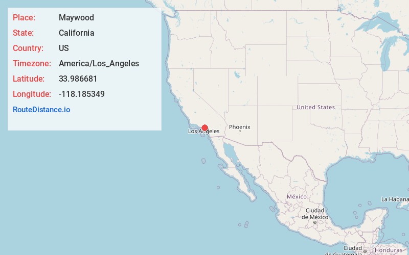
Full AddressMaywood, CA 90270
-
Coordinates33.9866807, -118.185349
-
LocationMaywood , California , US
-
TimezoneAmerica/Los_Angeles
-
Current Local Time9:19:14 AM America/Los_AngelesSaturday, June 14, 2025
-
Website
-
Page Views0
About Maywood
Maywood is a gateway city in Los Angeles County. At 1.18 square miles, Maywood is the third-smallest incorporated city in Los Angeles County by area. It is bordered by the cities of Bell on the south, Vernon on the north and west, Huntington Park on the southwest, and Commerce on the east.


Nearby Places
Found 10 places within 50 miles

Bell
0.6 mi
1.0 km
Bell, CA
Get directions

Bell Gardens
2.4 mi
3.9 km
Bell Gardens, CA 90201
Get directions

South Gate
2.7 mi
4.3 km
South Gate, CA 90280
Get directions

East Los Angeles
2.7 mi
4.3 km
East Los Angeles, CA
Get directions

Lynwood
4.2 mi
6.8 km
Lynwood, CA
Get directions

Downey
4.4 mi
7.1 km
Downey, CA
Get directions

Montebello
4.6 mi
7.4 km
Montebello, CA
Get directions

Los Angeles
5.7 mi
9.2 km
Los Angeles, CA
Get directions

Monterey Park
6.3 mi
10.1 km
Monterey Park, CA
Get directions

Compton
6.7 mi
10.8 km
Compton, CA
Get directions
Location Links
Local Weather
Weather Information
Coming soon!
Location Map
Static map view of Maywood, California
Browse Places by Distance
Places within specific distances from Maywood
Short Distances
Long Distances
Click any distance to see all places within that range from Maywood. Distances shown in miles (1 mile ≈ 1.61 kilometers).