Distance to McClellan Place, California

Calculating Your Route
Just a moment while we process your request...
Location Information
-
Full AddressMcClellan Place, CA 96046
-
Coordinates40.4870876, -123.4200324
-
LocationMcClellan Place , California , US
-
TimezoneAmerica/Los_Angeles
-
Current Local Time8:27:40 AM America/Los_AngelesWednesday, June 4, 2025
-
Page Views0
Nearby Places
Found 10 places within 50 miles

Mad River
5.1 mi
8.2 km
Mad River, CA
Get directions

Hyampom
9.2 mi
14.8 km
Hyampom, CA 96046
Get directions

Forest Glen
9.3 mi
15.0 km
Forest Glen, CA
Get directions

Dinsmore
9.8 mi
15.8 km
Dinsmore, CA 95526
Get directions

Peanut
13.3 mi
21.4 km
Peanut, CA 96041
Get directions

Hayfork
13.3 mi
21.4 km
Hayfork, CA 96041
Get directions
Ruth
15.9 mi
25.6 km
Ruth, CA 95552
Get directions
Blocksburg
18.5 mi
29.8 km
Blocksburg, CA 95514
Get directions

Big Bar
19.6 mi
31.5 km
Big Bar, CA 96010
Get directions

Zenia
19.8 mi
31.9 km
Zenia, CA 95595
Get directions
Location Links
Local Weather
Weather Information
Coming soon!
Location Map
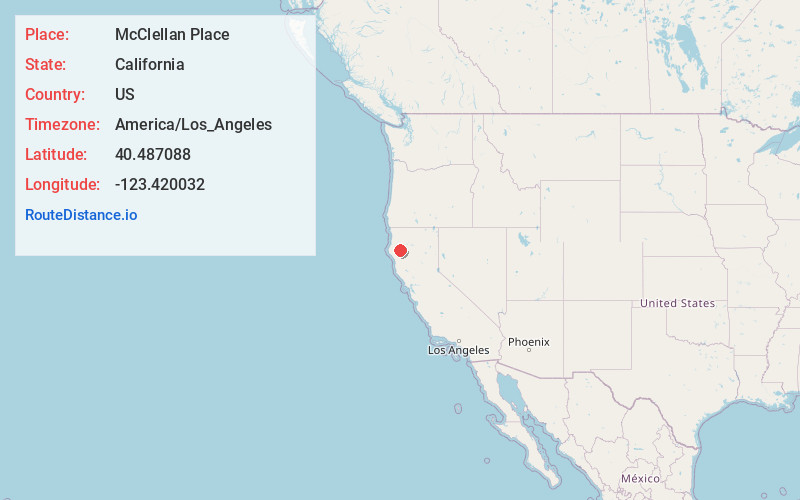
Static map view of McClellan Place, California
Browse Places by Distance
Places within specific distances from McClellan Place
Short Distances
Long Distances
Click any distance to see all places within that range from McClellan Place. Distances shown in miles (1 mile ≈ 1.61 kilometers).