Distance to McKey, Oklahoma

Calculating Your Route
Just a moment while we process your request...
Location Information
-
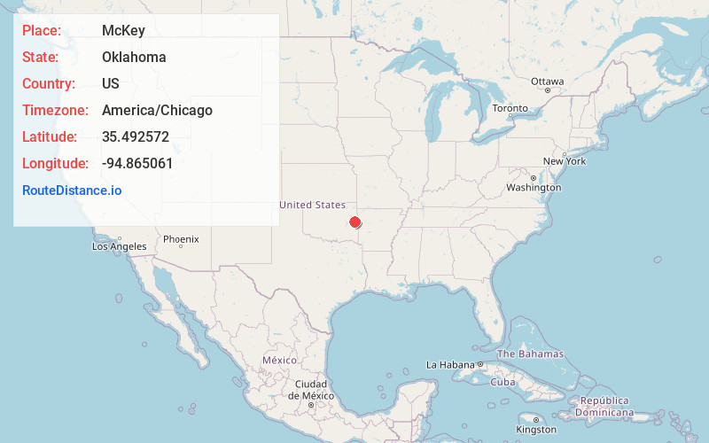
Full AddressMcKey, OK
-
Coordinates35.492572, -94.8650614
-
LocationMcKey , Oklahoma , US
-
TimezoneAmerica/Chicago
-
Current Local Time11:01:45 AM America/ChicagoMonday, May 19, 2025
-
Page Views0
About McKey
McKey is a census-designated place in Sequoyah County, Oklahoma, United States. It is part of the Fort Smith, Arkansas-Oklahoma Metropolitan Statistical Area. The population was 135 at the 2000 census. McKey was established on the Old Osage and Arkansas Valley Railroad near MacKey's Salt Works.
Nearby Places
Found 10 places within 50 miles

Pinhook Corners
3.2 mi
5.1 km
Pinhook Corners, OK 74962
Get directions

Dwight Mission
4.0 mi
6.4 km
Dwight Mission, OK
Get directions

Sallisaw
4.9 mi
7.9 km
Sallisaw, OK 74955
Get directions

Vian
5.9 mi
9.5 km
Vian, OK 74962
Get directions
Marble City
6.6 mi
10.6 km
Marble City, OK 74945
Get directions
Sadie
7.3 mi
11.7 km
Sadie, OK 74955
Get directions
Box
8.8 mi
14.2 km
Box, OK 74962
Get directions

Brushy
9.0 mi
14.5 km
Brushy, OK 74955
Get directions
Carlisle
9.1 mi
14.6 km
Carlisle, OK
Get directions
Flute Springs
9.4 mi
15.1 km
Flute Springs, OK
Get directions
Location Links
Local Weather
Weather Information
Coming soon!
Location Map
Static map view of McKey, Oklahoma
Browse Places by Distance
Places within specific distances from McKey
Short Distances
Long Distances
Click any distance to see all places within that range from McKey. Distances shown in miles (1 mile ≈ 1.61 kilometers).