Distance to Milo, Oklahoma

Calculating Your Route
Just a moment while we process your request...
Location Information
-
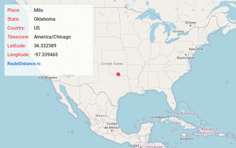
Full AddressMilo, OK 73458
-
Coordinates34.3325894, -97.3394652
-
LocationMilo , Oklahoma , US
-
TimezoneAmerica/Chicago
-
Current Local Time3:53:08 AM America/ChicagoSunday, June 22, 2025
-
Page Views0
About Milo
Milo is a community located in Carter County, Oklahoma, United States. It is on State Highway 53, south of the Arbuckles. The post office opened October 28, 1899. It was later closed. The current ZIP Code is 73458 assigned to Springer.
Nearby Places
Found 10 places within 50 miles

Graham
5.3 mi
8.5 km
Graham, OK 73458
Get directions

Pooleville
6.9 mi
11.1 km
Pooleville, OK 73458
Get directions

Fox
9.0 mi
14.5 km
Fox, OK
Get directions
Dillard
10.7 mi
17.2 km
Dillard, Wilson, OK 73463
Get directions

Healdton
10.9 mi
17.5 km
Healdton, OK
Get directions

Springer
11.3 mi
18.2 km
Springer, OK
Get directions

Lone Grove
11.7 mi
18.8 km
Lone Grove, OK
Get directions

Hennepin
12.2 mi
19.6 km
Hennepin, OK 73433
Get directions

Tatums
12.5 mi
20.1 km
Tatums, OK
Get directions

Ratliff City
12.6 mi
20.3 km
Ratliff City, OK 73481
Get directions
Location Links
Local Weather
Weather Information
Coming soon!
Location Map
Static map view of Milo, Oklahoma
Browse Places by Distance
Places within specific distances from Milo
Short Distances
Long Distances
Click any distance to see all places within that range from Milo. Distances shown in miles (1 mile ≈ 1.61 kilometers).