Distance to Pooleville, Oklahoma

Calculating Your Route
Just a moment while we process your request...
Location Information
-
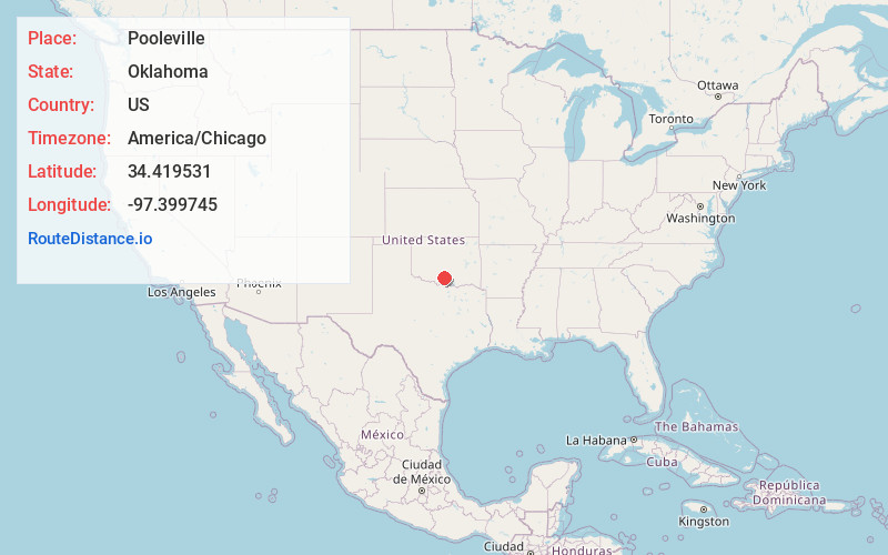
Full AddressPooleville, OK 73458
-
Coordinates34.4195313, -97.3997454
-
LocationPooleville , Oklahoma , US
-
TimezoneAmerica/Chicago
-
Current Local Time4:48:25 PM America/ChicagoFriday, June 20, 2025
-
Page Views0
About Pooleville
Pooleville is a community located in Carter County, Oklahoma, United States. It is west of the Arbuckles. During the territorial days, the community was originally known as Elk.
At the time of its founding, the community was located in Pickens County, Chickasaw Nation.


Nearby Places
Found 10 places within 50 miles

Tatums
5.6 mi
9.0 km
Tatums, OK
Get directions

Graham
5.7 mi
9.2 km
Graham, OK 73458
Get directions

Fox
6.5 mi
10.5 km
Fox, OK
Get directions

Ratliff City
6.6 mi
10.6 km
Ratliff City, OK 73481
Get directions

Hennepin
6.9 mi
11.1 km
Hennepin, OK 73433
Get directions
Satterwhite
10.0 mi
16.1 km
Satterwhite, OK 73433
Get directions

Katie
11.4 mi
18.3 km
Katie, OK 73433
Get directions

Healdton
13.8 mi
22.2 km
Healdton, OK
Get directions

Elmore City
14.1 mi
22.7 km
Elmore City, OK 73433
Get directions
Foster
14.5 mi
23.3 km
Foster, OK
Get directions
Location Links
Local Weather
Weather Information
Coming soon!
Location Map
Static map view of Pooleville, Oklahoma
Browse Places by Distance
Places within specific distances from Pooleville
Short Distances
Long Distances
Click any distance to see all places within that range from Pooleville. Distances shown in miles (1 mile ≈ 1.61 kilometers).