Distance to Tatums, Oklahoma

Calculating Your Route
Just a moment while we process your request...
Location Information
-
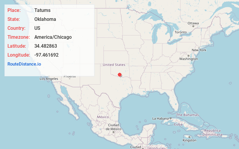
Full AddressTatums, OK
-
Coordinates34.4828626, -97.4616917
-
LocationTatums , Oklahoma , US
-
TimezoneAmerica/Chicago
-
Current Local Time11:58:02 PM America/ChicagoSaturday, June 21, 2025
-
Page Views0
About Tatums
Tatums is a historic Freedmen's town in Carter County, Oklahoma, United States. The population was 151 at the 2010 census, a decline of 12.2 percent from the figure of 172 in 2000. It is part of the Ardmore, Oklahoma, Micropolitan Statistical Area.


Nearby Places
Found 10 places within 50 miles

Katie
9.1 mi
14.6 km
Katie, OK 73433
Get directions

Foster
9.4 mi
15.1 km
Foster, OK
Get directions

Elmore City
10.4 mi
16.7 km
Elmore City, OK 73433
Get directions

Velma
12.2 mi
19.6 km
Velma, OK 73491
Get directions

Healdton
17.3 mi
27.8 km
Healdton, OK
Get directions

Davis
19.5 mi
31.4 km
Davis, OK 73030
Get directions

Wynnewood
19.9 mi
32.0 km
Wynnewood, OK 73098
Get directions

Springer
21.6 mi
34.8 km
Springer, OK
Get directions
Wilson
22.3 mi
35.9 km
Wilson, OK 73463
Get directions

Ringling
22.3 mi
35.9 km
Ringling, OK 73456
Get directions
Location Links
Local Weather
Weather Information
Coming soon!
Location Map
Static map view of Tatums, Oklahoma
Browse Places by Distance
Places within specific distances from Tatums
Short Distances
Long Distances
Click any distance to see all places within that range from Tatums. Distances shown in miles (1 mile ≈ 1.61 kilometers).