Distance to Mineral King, California

Calculating Your Route
Just a moment while we process your request...
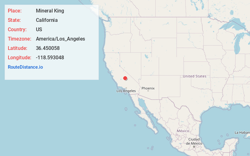
Location Information
-
Full AddressMineral King, CA 93271
-
Coordinates36.450058, -118.593048
-
LocationMineral King , California , US
-
TimezoneAmerica/Los_Angeles
-
Current Local Time6:24:47 PM America/Los_AngelesTuesday, June 3, 2025
-
Page Views0
About Mineral King
Mineral King is a subalpine glacial valley located in the southern part of Sequoia National Park, in the U.S. state of California. The valley lies at the headwaters of the East Fork of the Kaweah River, which rises at the eastern part of the valley and flows northwest.


Nearby Places
Found 10 places within 50 miles

Silver City
3.2 mi
5.1 km
Silver City, CA 93271
Get directions

Three Rivers
17.3 mi
27.8 km
Three Rivers, CA 93271
Get directions

Advance
17.8 mi
28.6 km
Advance, CA 93271
Get directions

Sequoia Crest
18.0 mi
29.0 km
Sequoia Crest, CA 93265
Get directions
Cedar Slope
20.9 mi
33.6 km
Cedar Slope, CA 93265
Get directions

Camp Nelson
21.5 mi
34.6 km
Camp Nelson, CA 93265
Get directions
Pierpoint
21.6 mi
34.8 km
Pierpoint, CA 93265
Get directions

Whitney Portal
22.4 mi
36.0 km
Whitney Portal, CA
Get directions

Cedar Grove
23.9 mi
38.5 km
Cedar Grove, CA 93633
Get directions

Ponderosa
24.0 mi
38.6 km
Ponderosa, CA 93265
Get directions
Location Links
Local Weather
Weather Information
Coming soon!
Location Map
Static map view of Mineral King, California
Browse Places by Distance
Places within specific distances from Mineral King
Short Distances
Long Distances
Click any distance to see all places within that range from Mineral King. Distances shown in miles (1 mile ≈ 1.61 kilometers).