Distance to Mogadore, Ohio

Calculating Your Route
Just a moment while we process your request...
Location Information
-
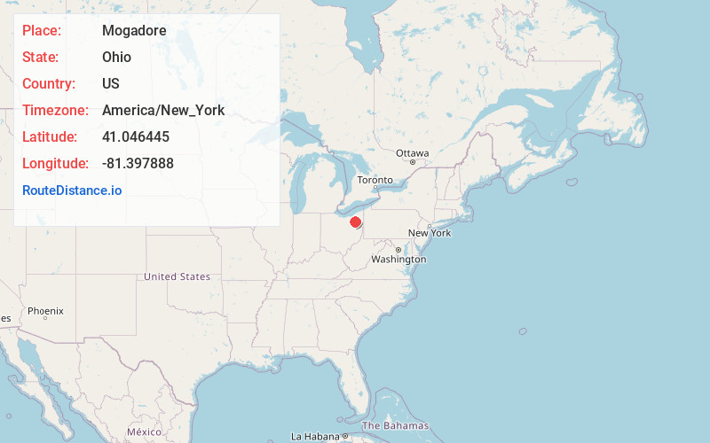
Full AddressMogadore, OH
-
Coordinates41.0464454, -81.3978884
-
LocationMogadore , Ohio , US
-
TimezoneAmerica/New_York
-
Current Local Time9:03:57 AM America/New_YorkMonday, June 23, 2025
-
Page Views0
About Mogadore
Mogadore is a village in Portage and Summit counties in the U.S. state of Ohio. The population was 3,811 at the 2020 census. A suburb of Akron, it is part of the Akron metropolitan area.


Nearby Places
Found 10 places within 50 miles

Tallmadge
4.4 mi
7.1 km
Tallmadge, OH
Get directions

Uniontown
5.0 mi
8.0 km
Uniontown, OH
Get directions

Akron
6.7 mi
10.8 km
Akron, OH
Get directions

Munroe Falls
7.1 mi
11.4 km
Munroe Falls, OH
Get directions

Portage Lakes
7.3 mi
11.7 km
Portage Lakes, OH 44319
Get directions

Cuyahoga Falls
7.5 mi
12.1 km
Cuyahoga Falls, OH
Get directions

Kent
7.7 mi
12.4 km
Kent, OH
Get directions

Stow
8.1 mi
13.0 km
Stow, OH
Get directions

Green
8.2 mi
13.2 km
Green, OH
Get directions

New Franklin
10.4 mi
16.7 km
New Franklin, OH
Get directions
Location Links
Local Weather
Weather Information
Coming soon!
Location Map
Static map view of Mogadore, Ohio
Browse Places by Distance
Places within specific distances from Mogadore
Short Distances
Long Distances
Click any distance to see all places within that range from Mogadore. Distances shown in miles (1 mile ≈ 1.61 kilometers).