Distance to Munroe Falls, Ohio

Calculating Your Route
Just a moment while we process your request...
Location Information
-
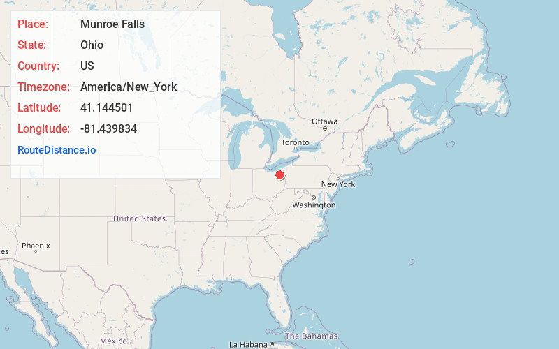
Full AddressMunroe Falls, OH
-
Coordinates41.1445006, -81.4398342
-
LocationMunroe Falls , Ohio , US
-
TimezoneAmerica/New_York
-
Current Local Time10:42:57 PM America/New_YorkSaturday, June 7, 2025
-
Website
-
Page Views0
About Munroe Falls
Munroe Falls is a city in east-central Summit County, Ohio, United States, along the Cuyahoga River. The population was 5,044 at the 2020 census. It is a suburb of Akron and is part of the Akron metropolitan area.


Nearby Places
Found 10 places within 50 miles

Stow
1.0 mi
1.6 km
Stow, OH
Get directions

Cuyahoga Falls
2.4 mi
3.9 km
Cuyahoga Falls, OH
Get directions

Tallmadge
3.0 mi
4.8 km
Tallmadge, OH
Get directions

Kent
4.3 mi
6.9 km
Kent, OH
Get directions

Akron
6.0 mi
9.7 km
Akron, OH
Get directions

Hudson
6.6 mi
10.6 km
Hudson, OH
Get directions

Streetsboro
8.2 mi
13.2 km
Streetsboro, OH
Get directions

Fairlawn
8.9 mi
14.3 km
Fairlawn, OH
Get directions

Ravenna
10.3 mi
16.6 km
Ravenna, OH 44266
Get directions

Portage Lakes
10.5 mi
16.9 km
Portage Lakes, OH 44319
Get directions
Location Links
Local Weather
Weather Information
Coming soon!
Location Map
Static map view of Munroe Falls, Ohio
Browse Places by Distance
Places within specific distances from Munroe Falls
Short Distances
Long Distances
Click any distance to see all places within that range from Munroe Falls. Distances shown in miles (1 mile ≈ 1.61 kilometers).