Distance to Montana, Montana

Calculating Your Route
Just a moment while we process your request...
Location Information
-
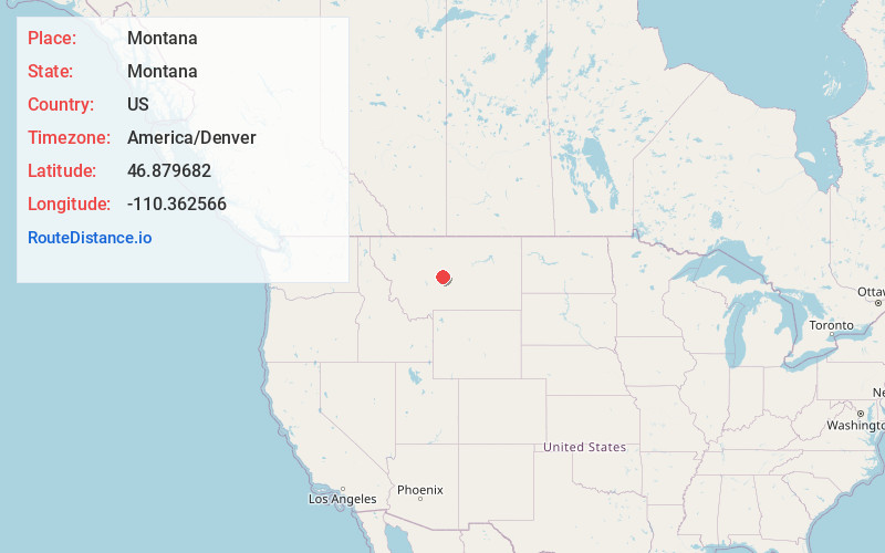
Full AddressMontana
-
Coordinates46.8796822, -110.3625658
-
LocationMontana , US
-
TimezoneAmerica/Denver
-
Current Local Time2:18:31 AM America/DenverMonday, June 2, 2025
-
Website
-
Page Views0
About Montana
Montana is a western state defined by its diverse terrain ranging from the Rocky Mountains to the Great Plains. Its wide-open spaces include Glacier National Park, a vast wilderness preserve that passes into Canada. The park’s many snow-capped peaks, lakes and alpine hiking trails are showcased along its famed Going-to-the-Sun Road, stretching 50 miles.


Nearby Places
Found 10 places within 50 miles

Yogo Crossing
2.7 mi
4.3 km
Yogo Crossing, MT 59479
Get directions

Sapphire Village
5.3 mi
8.5 km
Sapphire Village, MT 59452
Get directions
Scholtztown
12.7 mi
20.4 km
Scholtztown, MT 59479
Get directions

Lehigh
13.5 mi
21.7 km
Lehigh, MT 59479
Get directions

Utica
14.1 mi
22.7 km
Utica, MT 59452
Get directions

Neihart
18.0 mi
29.0 km
Neihart, MT 59465
Get directions
Barker
18.6 mi
29.9 km
Barker, MT 59447
Get directions

Hughesville
19.0 mi
30.6 km
Hughesville, MT 59447
Get directions
Forest Green
19.7 mi
31.7 km
Forest Green, MT 59645
Get directions
Jellison Place
19.8 mi
31.9 km
Jellison Place, MT 59036
Get directions
Location Links
Local Weather
Weather Information
Coming soon!
Location Map
Static map view of Montana, Montana
Browse Places by Distance
Places within specific distances from Montana
Short Distances
Long Distances
Click any distance to see all places within that range from Montana. Distances shown in miles (1 mile ≈ 1.61 kilometers).