Distance to Montgomery Creek, California

Calculating Your Route
Just a moment while we process your request...
Location Information
-
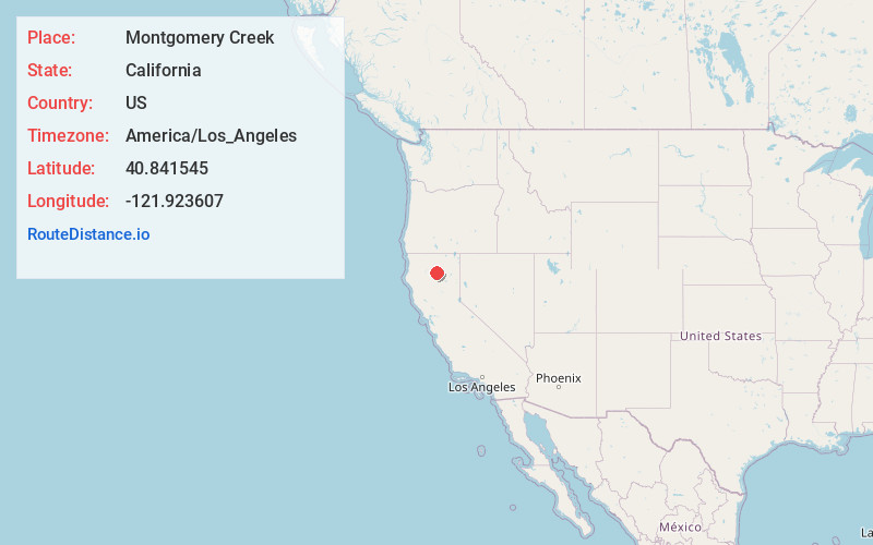
Full AddressMontgomery Creek, CA 96065
-
Coordinates40.8415447, -121.9236073
-
LocationMontgomery Creek , California , US
-
TimezoneAmerica/Los_Angeles
-
Current Local Time7:53:59 AM America/Los_AngelesWednesday, June 25, 2025
-
Page Views0
About Montgomery Creek
Montgomery Creek is a census-designated place in Shasta County, California, United States. Its population is 176 as of the 2020 census, up from 163 from the 2010 census. The town and associated creek were named after Zachariah Montgomery.


Nearby Places
Found 10 places within 50 miles

Round Mountain
3.4 mi
5.5 km
Round Mountain, CA
Get directions

Wengler
5.1 mi
8.2 km
Wengler, CA 96065
Get directions
Fern
10.6 mi
17.1 km
Fern, CA 96096
Get directions

Oak Run
12.2 mi
19.6 km
Oak Run, CA 96069
Get directions

Big Bend
12.4 mi
20.0 km
Big Bend, CA 96011
Get directions

Burney
14.0 mi
22.5 km
Burney, CA 96013
Get directions
Bully Hill
14.4 mi
23.2 km
Bully Hill, CA 96003
Get directions

Whitmore
14.7 mi
23.7 km
Whitmore, CA 96096
Get directions

Johnson Park
16.4 mi
26.4 km
Johnson Park, CA 96013
Get directions

Redwoods
17.0 mi
27.4 km
Redwoods, Whitmore, CA 96096
Get directions
Location Links
Local Weather
Weather Information
Coming soon!
Location Map
Static map view of Montgomery Creek, California
Browse Places by Distance
Places within specific distances from Montgomery Creek
Short Distances
Long Distances
Click any distance to see all places within that range from Montgomery Creek. Distances shown in miles (1 mile ≈ 1.61 kilometers).